
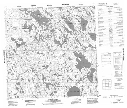
064P15 Vickery Lake Canada topo map, 1:50,000 scale
064P15 Vickery Lake NRCAN topographic map.
Includes UTM and GPS geographic coordinates (latitude and longitude). This 50k scale map is suitable for hiking, camping, and exploring, or you could frame it as a wall map.
Printed on-demand using high resolution, on heavy weight and acid free paper, or as an upgrade on a variety of synthetic materials.
Topos available on paper, Waterproof, Poly, or Tyvek. Usually shipping rolled, unless combined with other folded maps in one order.
- Product Number: NRCAN-064P15
- Parent Topo: TOPO-064P
- Map ID also known as: 064P15, 64P15
- Unfolded Size: Approximately 26" high by 36" wide
- Weight (paper map): ca. 55 grams
- Map Type: POD NRCAN Topographic Map
- Map Scale: 1:50,000
- Geographical region: Manitoba, Canada
Neighboring Maps:
All neighboring Canadian topo maps are available for sale online at 1:50,000 scale.
Purchase the smaller scale map covering this area: Topo-064P
Spatial coverage:
Topo map sheet 064P15 Vickery Lake covers the following places:
- Bain Bay - Hodge Bay - Clark Peninsula - McRae Point - Alfred Smith Island - Edmond Island - Solmundson Island - Wheeler Island - Arksey Lake - Baroni Lake - Coutts Lake - Falloon Lake - Gronbeck Lake - Haacke Lake - Loftson Lake - Milburn Lake - Negrich Lake - Pollon Lake - Rankmore Lake - Round Sand Lake - Savage Lake - Sellgren Lake - Tarzwell Lake - Thuygi Lake - Tymchuk Lake - Vickery Lake - Caribou River Park Reserve - Manitoba - Brooks Rapids - Hunter Rapids - Peterson Rapids - Cantin Creek - Caribou River - Robinson River - Nunavut


