
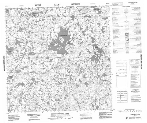
064P14 Commonwealth Lake Canada topo map, 1:50,000 scale
064P14 Commonwealth Lake NRCAN topographic map.
Includes UTM and GPS geographic coordinates (latitude and longitude). This 50k scale map is suitable for hiking, camping, and exploring, or you could frame it as a wall map.
Printed on-demand using high resolution, on heavy weight and acid free paper, or as an upgrade on a variety of synthetic materials.
Topos available on paper, Waterproof, Poly, or Tyvek. Usually shipping rolled, unless combined with other folded maps in one order.
- Product Number: NRCAN-064P14
- Parent Topo: TOPO-064P
- Map ID also known as: 064P14, 64P14
- Unfolded Size: Approximately 26" high by 36" wide
- Weight (paper map): ca. 55 grams
- Map Type: POD NRCAN Topographic Map
- Map Scale: 1:50,000
- Geographical region: Manitoba, Canada
Neighboring Maps:
All neighboring Canadian topo maps are available for sale online at 1:50,000 scale.
Purchase the smaller scale map covering this area: Topo-064P
Spatial coverage:
Topo map sheet 064P14 Commonwealth Lake covers the following places:
- Beaver Island - Kangaroo Island - Kiwi Island - Lion Island - Toland Island - Bruce Lake - Chawanski Lake - Commonwealth Lake - de Rzonca Lake - Derzonca Lake - Fetherstonhaugh Lake - Glover Lake - Hatton Lake - Kell Lake - Lepine Lake - Lépine Lake - Manders Lake - Palmatier Lake - Rheubottom Lake - Schmok Lake - Sokol Lake - Thould Lake - Wardrope Lake - Whittaker Lake - William Wright Lake - Caribou River Park Reserve - Manitoba - Burton Rapids - Low Rapids - Marten Rapids - Moffatt Rapids - Caribou River - Roberts River - Robinson River - Nunavut


