
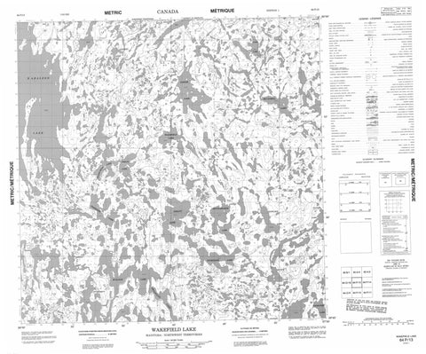
064P13 Wakefield Lake Canada topo map, 1:50,000 scale
064P13 Wakefield Lake NRCAN topographic map.
Includes UTM and GPS geographic coordinates (latitude and longitude). This 50k scale map is suitable for hiking, camping, and exploring, or you could frame it as a wall map.
Printed on-demand using high resolution, on heavy weight and acid free paper, or as an upgrade on a variety of synthetic materials.
Topos available on paper, Waterproof, Poly, or Tyvek. Usually shipping rolled, unless combined with other folded maps in one order.
- Product Number: NRCAN-064P13
- Parent Topo: TOPO-064P
- Map ID also known as: 064P13, 64P13
- Unfolded Size: Approximately 26" high by 36" wide
- Weight (paper map): ca. 55 grams
- Map Type: POD NRCAN Topographic Map
- Map Scale: 1:50,000
- Geographical region: Manitoba, Canada
Neighboring Maps:
All neighboring Canadian topo maps are available for sale online at 1:50,000 scale.
Purchase the smaller scale map covering this area: Topo-064P
Spatial coverage:
Topo map sheet 064P13 Wakefield Lake covers the following places:
- Carson Bay - Echo Point - Harvey Point - Jackson Point - Logical Point - Moffat Point - Sigurdson Peninsula - Betts Island - Croll Island - MacPherson Island - Macpherson Island - Baralzon Lake - Bruce Lake - Bulloch Lake - Chawanski Lake - Dowland Lake - Farnie Lake - Glover Lake - Griffiths Lake - Hurton Lake - Inverarity Lake - Lazenby Lake - Lowe Lake - McCaskill Lake - Nejanilini Lake - Nicholson Lake - Palmatier Lake - Phelps Lake - Rudick Lake - Shuttleworth Lake - Spratt Lake - Trewin Lake - Wakefield Lake - Warburton Lake - Ben Johnson Hill - Manitoba - Lazenby Creek - Roberts River - Townsend River - Wolverine River - Nunavut


