
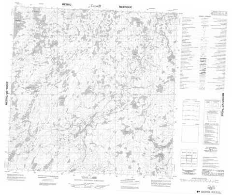
064N13 Veal Lake Canada topo map, 1:50,000 scale
064N13 Veal Lake NRCAN topographic map.
Includes UTM and GPS geographic coordinates (latitude and longitude). This 50k scale map is suitable for hiking, camping, and exploring, or you could frame it as a wall map.
Printed on-demand using high resolution, on heavy weight and acid free paper, or as an upgrade on a variety of synthetic materials.
Topos available on paper, Waterproof, Poly, or Tyvek. Usually shipping rolled, unless combined with other folded maps in one order.
- Product Number: NRCAN-064N13
- Parent Topo: TOPO-064N
- Map ID also known as: 064N13, 64N13
- Unfolded Size: Approximately 26" high by 36" wide
- Weight (paper map): ca. 55 grams
- Map Type: POD NRCAN Topographic Map
- Map Scale: 1:50,000
- Geographical region: Manitoba, Canada
Neighboring Maps:
All neighboring Canadian topo maps are available for sale online at 1:50,000 scale.
Purchase the smaller scale map covering this area: Topo-064N
Spatial coverage:
Topo map sheet 064N13 Veal Lake covers the following places:
- Tanner Bay - Crawford Peninsula - Cramer Island - Hatch Island - Bettess Lake - Brandson Lake - Buckels Lake - Cant Lake - Chekask Lake - Curphey Lake - Hasbala Lake - Hooey Lake - Kinney Lake - Lopuck Lake - MacNicol Lake - McGibney Lake - Mennell Lake - Parsons Lake - Pooles Lake - Shields Lake - Tanuck Lake - Veal Lake - Wakula Lake - Wakula Lake - Manitoba - Allardyce Creek - Buick River - Little Partridge River - Little Partridge River - Shields Creek - Nunavut


