
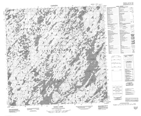
064M01 Hara Lake Canada topo map, 1:50,000 scale
064M01 Hara Lake NRCAN topographic map.
Includes UTM and GPS geographic coordinates (latitude and longitude). This 50k scale map is suitable for hiking, camping, and exploring, or you could frame it as a wall map.
Printed on-demand using high resolution, on heavy weight and acid free paper, or as an upgrade on a variety of synthetic materials.
Topos available on paper, Waterproof, Poly, or Tyvek. Usually shipping rolled, unless combined with other folded maps in one order.
- Product Number: NRCAN-064M01
- Parent Topo: TOPO-064M
- Map ID also known as: 064M01, 64M1, 64M01
- Unfolded Size: Approximately 26" high by 36" wide
- Weight (paper map): ca. 55 grams
- Map Type: POD NRCAN Topographic Map
- Map Scale: 1:50,000
- Geographical region: Manitoba, Canada
Neighboring Maps:
All neighboring Canadian topo maps are available for sale online at 1:50,000 scale.
Purchase the smaller scale map covering this area: Topo-064M
Spatial coverage:
Topo map sheet 064M01 Hara Lake covers the following places:
- Bell Bay - Brown Bay - Cameron Bay - Cameron Bay - Campbell Bay - Cooper Bay - Greenway Bay - Anderson Peninsula - Blyth Island - Bergen Lake - Burnett Lake - Cook Lake - Douglas Lake - Fichtner Lake - Flowerdew Lake - Gleason Lake - Hanis Lake - Hara Lake - Hara Lake - Henderson Lake - Hill Lake - Holtby Lake - Hopkins Lake - Kingston Lake - Knight Lake - Kohn Lake - Nayheyow Lake - Neyanun Lake - Nistoo Lake - O'Leary Lake - Payukoo Lake - Wilken Lake


