
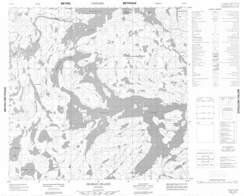
064J15 Seaman Island Canada topo map, 1:50,000 scale
064J15 Seaman Island NRCAN topographic map.
Includes UTM and GPS geographic coordinates (latitude and longitude). This 50k scale map is suitable for hiking, camping, and exploring, or you could frame it as a wall map.
Printed on-demand using high resolution, on heavy weight and acid free paper, or as an upgrade on a variety of synthetic materials.
Topos available on paper, Waterproof, Poly, or Tyvek. Usually shipping rolled, unless combined with other folded maps in one order.
- Product Number: NRCAN-064J15
- Parent Topo: TOPO-064J
- Map ID also known as: 064J15, 64J15
- Unfolded Size: Approximately 26" high by 36" wide
- Weight (paper map): ca. 55 grams
- Map Type: POD NRCAN Topographic Map
- Map Scale: 1:50,000
- Geographical region: Manitoba, Canada
Neighboring Maps:
All neighboring Canadian topo maps are available for sale online at 1:50,000 scale.
Purchase the smaller scale map covering this area: Topo-064J
Spatial coverage:
Topo map sheet 064J15 Seaman Island covers the following places:
- Douglas Bay - Weaver Bay - Weaver Point - Williams Point - Moffatt Island - Seaman Island - Weaver Island - Bergquist Lake - Buckley Lake - Copeland Lake - Frederickson Lake - Horton Lake - Ireland Lake - Kitson Lake - Leverrier Lake - MacWilliam Lake - Overby Lake - Seddon Lake - Stony Lake - Tremblay Lake - North Seal River


