
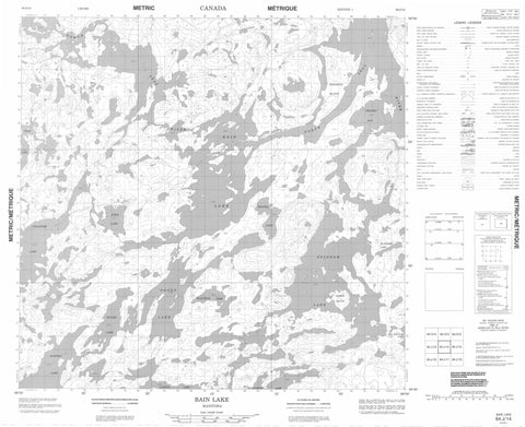
064J14 Bain Lake Canada topo map, 1:50,000 scale
064J14 Bain Lake NRCAN topographic map.
Includes UTM and GPS geographic coordinates (latitude and longitude). This 50k scale map is suitable for hiking, camping, and exploring, or you could frame it as a wall map.
Printed on-demand using high resolution, on heavy weight and acid free paper, or as an upgrade on a variety of synthetic materials.
Topos available on paper, Waterproof, Poly, or Tyvek. Usually shipping rolled, unless combined with other folded maps in one order.
- Product Number: NRCAN-064J14
- Parent Topo: TOPO-064J
- Map ID also known as: 064J14, 64J14
- Unfolded Size: Approximately 26" high by 36" wide
- Weight (paper map): ca. 55 grams
- Map Type: POD NRCAN Topographic Map
- Map Scale: 1:50,000
- Geographical region: Manitoba, Canada
Neighboring Maps:
All neighboring Canadian topo maps are available for sale online at 1:50,000 scale.
Purchase the smaller scale map covering this area: Topo-064J
Spatial coverage:
Topo map sheet 064J14 Bain Lake covers the following places:
- Cantin Bay - Deldeli Bay - Lawson Bay - Willis Bay - Angus Island - Cantin Island - Harris Island - Johnston Island - Bain Lake - Belsham Lake - Clifton Lake - Collister Lake - Duffney Lake - Eccles Lake - Foord Lake - MacWilliam Lake - McIntosh Lake - Shanks Lake - Titof Lake - Town Lake - Waychuk Lake - Fergus River - Johnson River - North Seal River


