
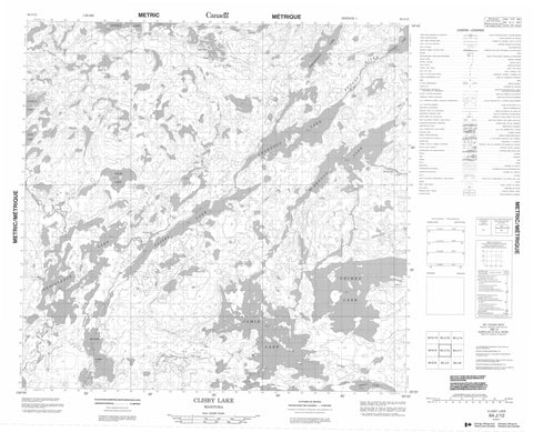
064J12 Clisby Lake Canada topo map, 1:50,000 scale
064J12 Clisby Lake NRCAN topographic map.
Includes UTM and GPS geographic coordinates (latitude and longitude). This 50k scale map is suitable for hiking, camping, and exploring, or you could frame it as a wall map.
Printed on-demand using high resolution, on heavy weight and acid free paper, or as an upgrade on a variety of synthetic materials.
Topos available on paper, Waterproof, Poly, or Tyvek. Usually shipping rolled, unless combined with other folded maps in one order.
- Product Number: NRCAN-064J12
- Parent Topo: TOPO-064J
- Map ID also known as: 064J12, 64J12
- Unfolded Size: Approximately 26" high by 36" wide
- Weight (paper map): ca. 55 grams
- Map Type: POD NRCAN Topographic Map
- Map Scale: 1:50,000
- Geographical region: Manitoba, Canada
Neighboring Maps:
All neighboring Canadian topo maps are available for sale online at 1:50,000 scale.
Purchase the smaller scale map covering this area: Topo-064J
Spatial coverage:
Topo map sheet 064J12 Clisby Lake covers the following places:
- Buchanan Bay - Earl Bay - Muir Bay - Armstrong Point - Bradley Point - Davey Point - Hallett Point - Barnett Island - Cornwall Island - Hough Island - Matthews Island - O'Brien Island - Small Island - Swanson Island - Chabluk Lake - Chornous Lake - Clisby Lake - Descoteaux Lake - Duffney Lake - Fenwick Lake - Grimes Lake - Hrysko Lake - Jamie Lake - Krause Lake - Mabb Lake - McDennon Lake - Polec Lake - Raites Lake - Raites Lake - Ralph Murray Lake - Roddy Lake - Tomchyshyn Lake - Werry Lake - Stewart Rapids - Cotton Creek - Fergus River - Johnson River - Watson Creek - Winnberg River


