
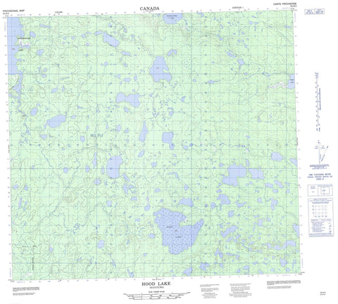
064H03 Hood Lake Canada topo map, 1:50,000 scale
064H03 Hood Lake NRCAN topographic map.
Includes UTM and GPS geographic coordinates (latitude and longitude). This 50k scale map is suitable for hiking, camping, and exploring, or you could frame it as a wall map.
Printed on-demand using high resolution, on heavy weight and acid free paper, or as an upgrade on a variety of synthetic materials.
Topos available on paper, Waterproof, Poly, or Tyvek. Usually shipping rolled, unless combined with other folded maps in one order.
- Product Number: NRCAN-064H03
- Parent Topo: TOPO-064H
- Map ID also known as: 064H03, 64H3, 64H03
- Unfolded Size: Approximately 26" high by 36" wide
- Weight (paper map): ca. 55 grams
- Map Type: POD NRCAN Topographic Map
- Map Scale: 1:50,000
- Geographical region: Manitoba, Canada
Neighboring Maps:
All neighboring Canadian topo maps are available for sale online at 1:50,000 scale.
Purchase the smaller scale map covering this area: Topo-064H
Spatial coverage:
Topo map sheet 064H03 Hood Lake covers the following places:
- Muheekun Bay - Wuskwi Bay - Belyea Lake - Brydon Lake - Fidler Lake - Gulbis Lake - Hagel Lake - Hood Lake - Leroy Johnston Lake - Lundy Lake - MacMurchy Lake - Morrice Lake - Muheekun Lake - Northern Indian Lake - Okotakunusk Lake - Poole Lake - Prawdzik Lake - Reade Lake - Surrette Lake - Thorsteinson Lake - Gauer River - Meethachos River - Muheekun River


