
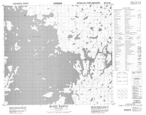
064G08 Missi Rapid Canada topo map, 1:50,000 scale
064G08 Missi Rapid NRCAN topographic map.
Includes UTM and GPS geographic coordinates (latitude and longitude). This 50k scale map is suitable for hiking, camping, and exploring, or you could frame it as a wall map.
Printed on-demand using high resolution, on heavy weight and acid free paper, or as an upgrade on a variety of synthetic materials.
Topos available on paper, Waterproof, Poly, or Tyvek. Usually shipping rolled, unless combined with other folded maps in one order.
- Product Number: NRCAN-064G08
- Parent Topo: TOPO-064G
- Map ID also known as: 064G08, 64G8, 64G08
- Unfolded Size: Approximately 26" high by 36" wide
- Weight (paper map): ca. 55 grams
- Map Type: POD NRCAN Topographic Map
- Map Scale: 1:50,000
- Geographical region: Manitoba, Canada
Neighboring Maps:
All neighboring Canadian topo maps are available for sale online at 1:50,000 scale.
Purchase the smaller scale map covering this area: Topo-064G
Spatial coverage:
Topo map sheet 064G08 Missi Rapid covers the following places:
- Pisew Bay - Moose Point - Sand Point - Duck Narrows - Loon Narrows - Namayo Narrows - Missi Falls - Missi Falls Control Structure - Bombadier Island - Budgie Island - Cronk Island - Loon Island - Patterson Island - Sand Island - Sheppard Island - Strawberry Island - Turtle Island - Zuba Island - Partridge Breast Lake - Pisew Lake - Southern Indian Lake - Missi Rapid - Churchill River - Nitawikew River - Pisew Creek - Rivière Churchill


