
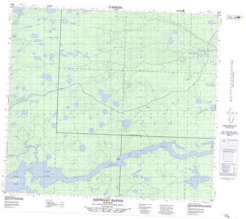
054D05 Birthday Rapids Canada topo map, 1:50,000 scale
054D05 Birthday Rapids NRCAN topographic map.
Includes UTM and GPS geographic coordinates (latitude and longitude). This 50k scale map is suitable for hiking, camping, and exploring, or you could frame it as a wall map.
Printed on-demand using high resolution, on heavy weight and acid free paper, or as an upgrade on a variety of synthetic materials.
Topos available on paper, Waterproof, Poly, or Tyvek. Usually shipping rolled, unless combined with other folded maps in one order.
- Product Number: NRCAN-054D05
- Parent Topo: TOPO-054D
- Map ID also known as: 054D05, 54D5, 54D05
- Unfolded Size: Approximately 26" high by 36" wide
- Weight (paper map): ca. 55 grams
- Map Type: POD NRCAN Topographic Map
- Map Scale: 1:50,000
- Geographical region: Manitoba, Canada
Neighboring Maps:
All neighboring Canadian topo maps are available for sale online at 1:50,000 scale.
Purchase the smaller scale map covering this area: Topo-054D
Spatial coverage:
Topo map sheet 054D05 Birthday Rapids covers the following places:
- Amisknatoweesootaneepaeet Lake - Asitayatik Lake - Carscadden Lake - Clark Lake - Crying Lake - Gull Lake - Kaskitahamisk Lake - Middle Waskwiatik Lake - Misamaskeko Lake - Mistahamisk Lake - Moswa Lake - Motayapisk Lake - Nikik Lake - Nisto Lakes - North Wapiskasaki Lake - South Ministik Lake - South Wapiskasaki Lake - South Waskwiatik Lake - Split Lake - Upisasin Lake - Wapimakese Lake - Wapisew Lake - Waskweesakwaskamotamisk Lake - WaweyasewLake - West Ministik Lake - Birthday Rapids - Apetow River - Assean River - Fleuve Nelson - Nelson River - South Moswakot River


