
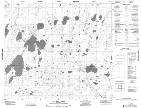
053N10 East Niska Lake Canada topo map, 1:50,000 scale
053N10 East Niska Lake NRCAN topographic map.
Includes UTM and GPS geographic coordinates (latitude and longitude). This 50k scale map is suitable for hiking, camping, and exploring, or you could frame it as a wall map.
Printed on-demand using high resolution, on heavy weight and acid free paper, or as an upgrade on a variety of synthetic materials.
Topos available on paper, Waterproof, Poly, or Tyvek. Usually shipping rolled, unless combined with other folded maps in one order.
- Product Number: NRCAN-053N10
- Parent Topo: TOPO-053N
- Map ID also known as: 053N10, 53N10
- Unfolded Size: Approximately 26" high by 36" wide
- Weight (paper map): ca. 55 grams
- Map Type: POD NRCAN Topographic Map
- Map Scale: 1:50,000
- Geographical region: Manitoba, Canada
Neighboring Maps:
All neighboring Canadian topo maps are available for sale online at 1:50,000 scale.
Purchase the smaller scale map covering this area: Topo-053N
Spatial coverage:
Topo map sheet 053N10 East Niska Lake covers the following places:
- Wawe Island - Carpenter Lake - East Niska Lake - Graafstra Lake - Kinosew Lake - Nistam Lake - North Eyapa Lake - North Opuskiamishes Lake - Rabbit Track Lake - Wapuspimiskunow Lake - Waskwiatik Lake - Log Jam Rapids - Muchomoputak Rapids - Donald Stewart Creek - Eyapa Creek - Kinosew Creek - McLean Creek - North Opuskiamishes River - Opuskiamishes River - Rabbit Track River - Stewart Creek - Tullibee River - Waskwiatik Creek


