
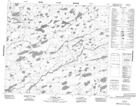
053M11 Ransom Lake Canada topo map, 1:50,000 scale
053M11 Ransom Lake NRCAN topographic map.
Includes UTM and GPS geographic coordinates (latitude and longitude). This 50k scale map is suitable for hiking, camping, and exploring, or you could frame it as a wall map.
Printed on-demand using high resolution, on heavy weight and acid free paper, or as an upgrade on a variety of synthetic materials.
Topos available on paper, Waterproof, Poly, or Tyvek. Usually shipping rolled, unless combined with other folded maps in one order.
- Product Number: NRCAN-053M11
- Parent Topo: TOPO-053M
- Map ID also known as: 053M11, 53M11
- Unfolded Size: Approximately 26" high by 36" wide
- Weight (paper map): ca. 55 grams
- Map Type: POD NRCAN Topographic Map
- Map Scale: 1:50,000
- Geographical region: Manitoba, Canada
Neighboring Maps:
All neighboring Canadian topo maps are available for sale online at 1:50,000 scale.
Purchase the smaller scale map covering this area: Topo-053M
Spatial coverage:
Topo map sheet 053M11 Ransom Lake covers the following places:
- Alvin Bell Lake - Annesley Lake - Ash Lake - Bodkin Lake - Burt-Gerrans Lake - Demeria Lake - Kinisegway Lake - Lesage Lake - Lesarge Lake - Lungstrum Lake - Makataysip Lake - Pickersgill Lake - Poyner Lake - Ransom Lake - Tanack Lake - Three Sister Lakes - Venier Lake - Wolfaert Lake - Yorkiw Lake - Jackson Esker - Atik River - Bigstone River - Duncan River - High Hill River - Marshall Creek - McKay Creek - Utik River


