
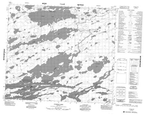
053M05 Cuddle Lake Canada topo map, 1:50,000 scale
053M05 Cuddle Lake NRCAN topographic map.
Includes UTM and GPS geographic coordinates (latitude and longitude). This 50k scale map is suitable for hiking, camping, and exploring, or you could frame it as a wall map.
Printed on-demand using high resolution, on heavy weight and acid free paper, or as an upgrade on a variety of synthetic materials.
Topos available on paper, Waterproof, Poly, or Tyvek. Usually shipping rolled, unless combined with other folded maps in one order.
- Product Number: NRCAN-053M05
- Parent Topo: TOPO-053M
- Map ID also known as: 053M05, 53M5, 53M05
- Unfolded Size: Approximately 26" high by 36" wide
- Weight (paper map): ca. 55 grams
- Map Type: POD NRCAN Topographic Map
- Map Scale: 1:50,000
- Geographical region: Manitoba, Canada
Neighboring Maps:
All neighboring Canadian topo maps are available for sale online at 1:50,000 scale.
Purchase the smaller scale map covering this area: Topo-053M
Spatial coverage:
Topo map sheet 053M05 Cuddle Lake covers the following places:
- Cleaver Bay - Joseph Johnston Bay - Lavallee Bay - Anderson Peninsula - Bailey Peninsula - Brydon Island - Drysdale Island - Goddard Island - Hawkins Island - Kendrick Island - Lyne Island - McNabb Island - Allan Kennedy Lake - Aspholm Lake - Atik Lake - Bigstone Lake - Cuddle Lake - Fruchtl Lake - Glenn Murray Lake - Hackland Lake - Perederka Lake - Pesederka Lake - Pritchard Lake - Silsby Lake - Sundeen Lake - Utik Lake - Atik River - Bigstone River - Utik River


