
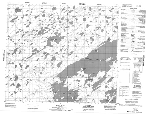
053M02 Mines Point Canada topo map, 1:50,000 scale
053M02 Mines Point NRCAN topographic map.
Includes UTM and GPS geographic coordinates (latitude and longitude). This 50k scale map is suitable for hiking, camping, and exploring, or you could frame it as a wall map.
Printed on-demand using high resolution, on heavy weight and acid free paper, or as an upgrade on a variety of synthetic materials.
Topos available on paper, Waterproof, Poly, or Tyvek. Usually shipping rolled, unless combined with other folded maps in one order.
- Product Number: NRCAN-053M02
- Parent Topo: TOPO-053M
- Map ID also known as: 053M02, 53M2, 53M02
- Unfolded Size: Approximately 26" high by 36" wide
- Weight (paper map): ca. 55 grams
- Map Type: POD NRCAN Topographic Map
- Map Scale: 1:50,000
- Geographical region: Manitoba, Canada
Neighboring Maps:
All neighboring Canadian topo maps are available for sale online at 1:50,000 scale.
Purchase the smaller scale map covering this area: Topo-053M
Spatial coverage:
Topo map sheet 053M02 Mines Point covers the following places:
- Anepitheyhapicsac Bay - Asinnepimichetin Bay - Neesooseeppee Bay - Kapakiskok Point - Mines Point - Neeohnan Point - Unekisiskow Point - Maskichikwan Narrows - Aminitgosak Island - McIntosh Island - Mineeoskatakaw Island - Munroe Island - Knee Lake - Kowesapiskitek Lake - Parker Lake - Seller Lake - Walter Smith Lake - Atikosis Creek - Hayes River - Keyask River - Moosocheas River - Oskatakaw Portage - Wachask Portage


