
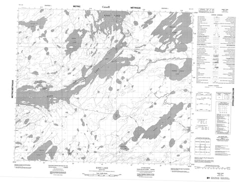
053L15 Knee Lake Canada topo map, 1:50,000 scale
053L15 Knee Lake NRCAN topographic map.
Includes UTM and GPS geographic coordinates (latitude and longitude). This 50k scale map is suitable for hiking, camping, and exploring, or you could frame it as a wall map.
Printed on-demand using high resolution, on heavy weight and acid free paper, or as an upgrade on a variety of synthetic materials.
Topos available on paper, Waterproof, Poly, or Tyvek. Usually shipping rolled, unless combined with other folded maps in one order.
- Product Number: NRCAN-053L15
- Parent Topo: TOPO-053L
- Map ID also known as: 053L15, 53L15
- Unfolded Size: Approximately 26" high by 36" wide
- Weight (paper map): ca. 55 grams
- Map Type: POD NRCAN Topographic Map
- Map Scale: 1:50,000
- Geographical region: Manitoba, Canada
Neighboring Maps:
All neighboring Canadian topo maps are available for sale online at 1:50,000 scale.
Purchase the smaller scale map covering this area: Topo-053L
Spatial coverage:
Topo map sheet 053L15 Knee Lake covers the following places:
- Bayly Bay - Pain Killer Bay - Cooper Point - Foster Peninsula - Holmes Point - McMillan Point - Okanoteotan Point - Oliver Point - Omusinapis Point - Palmer Peninsula - Opapiskak Narrows - Opischikona Narrows - Oskatakak Narrows - Hiebert Island - Kakinok Island - Long Island - Magnetite Island - Middleton Island - Taskipochikay Island - Vanular Island - Wickstrom Island - Wilkinson Island - Allan Robertson Lake - Bayly Lake - Cinder Lake - Fishing Eagle Lake - Halfway Lake - Klos Lake - Knee Lake - Magill Lake - Mistuhe Lake - Opaskaykow Lake - Seller Lake - Hayes River - Kaneesatiki River - Wolf River - Bayly Portage - Wuchuskonikap Portage


