
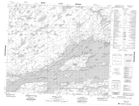
053L13 Carghill Island Canada topo map, 1:50,000 scale
053L13 Carghill Island NRCAN topographic map.
Includes UTM and GPS geographic coordinates (latitude and longitude). This 50k scale map is suitable for hiking, camping, and exploring, or you could frame it as a wall map.
Printed on-demand using high resolution, on heavy weight and acid free paper, or as an upgrade on a variety of synthetic materials.
Topos available on paper, Waterproof, Poly, or Tyvek. Usually shipping rolled, unless combined with other folded maps in one order.
- Product Number: NRCAN-053L13
- Parent Topo: TOPO-053L
- Map ID also known as: 053L13, 53L13
- Unfolded Size: Approximately 26" high by 36" wide
- Weight (paper map): ca. 55 grams
- Map Type: POD NRCAN Topographic Map
- Map Scale: 1:50,000
- Geographical region: Manitoba, Canada
Neighboring Maps:
All neighboring Canadian topo maps are available for sale online at 1:50,000 scale.
Purchase the smaller scale map covering this area: Topo-053L
Spatial coverage:
Topo map sheet 053L13 Carghill Island covers the following places:
- Carrot Bay - Cat Eye Bay - Kwaykwaychi Bay - Lynx Bay - Kanchopeesiskak Point - McIvor Peninsula - Miniskampakitayakanik Point - Omaseesokwapa Point - Paterson Peninsula - Carghill Channel - Kawapasik Narrows - Panipankos Narrows - Oxford House 24a - Bjornson Island - Bleak Island - Carghill Island - Christie Island - High Rock Island - Hyers Island - Joy Island - Kanawastiwiwin Island - Kisetpiskanak Island - Kiskoteminakok Island - Lloyd Island - Pisew Island - Thomsen Island - Hildebrand Lake - Kamistahiatikamekoskak Lake - Louis Roberts Lake - Michikinabish Lake - Minaposkitay Lake - Oxford Lake - Semple Lake - Thomas McLeod Lake - Wapaskosowakow Lakes - Kawasichewasik Rapid - Minaposkitay River - Porcupine Hill Creek - Semple River


