
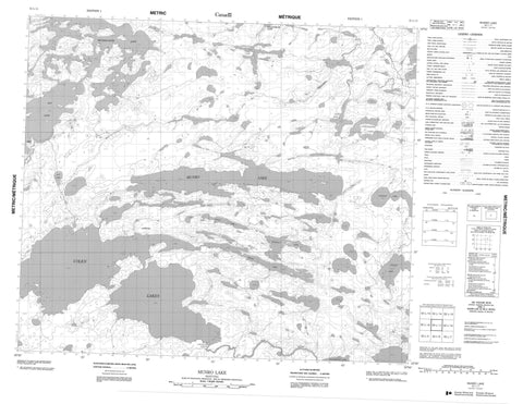
053L11 Munro Lake Canada topo map, 1:50,000 scale
053L11 Munro Lake NRCAN topographic map.
Includes UTM and GPS geographic coordinates (latitude and longitude). This 50k scale map is suitable for hiking, camping, and exploring, or you could frame it as a wall map.
Printed on-demand using high resolution, on heavy weight and acid free paper, or as an upgrade on a variety of synthetic materials.
Topos available on paper, Waterproof, Poly, or Tyvek. Usually shipping rolled, unless combined with other folded maps in one order.
- Product Number: NRCAN-053L11
- Parent Topo: TOPO-053L
- Map ID also known as: 053L11, 53L11
- Unfolded Size: Approximately 26" high by 36" wide
- Weight (paper map): ca. 55 grams
- Map Type: POD NRCAN Topographic Map
- Map Scale: 1:50,000
- Geographical region: Manitoba, Canada
Neighboring Maps:
All neighboring Canadian topo maps are available for sale online at 1:50,000 scale.
Purchase the smaller scale map covering this area: Topo-053L
Spatial coverage:
Topo map sheet 053L11 Munro Lake covers the following places:
- Wotton Bay - Gibson Peninsula - Harvey Peninsula - Morris Peninsula - Esker Ridge - Munro Lake - Oxford House 24b - Klassen Island - Ant Lake - Beverley Lake - Colen Lake - Colen Lakes - Harry McDonald Lake - Kaneesokamaki Lakes - Laird Lake - Laplante Lake - Leonard Neufeld Lake - Magill Lake - Manahan Lake - McLaughlin Lake - Michikinabish Lake - Munro Lake - Rat Lake - Reekie Lake - Touchwood Lake - Vivian Lake - Wanless Lake - Wilson Lake - Sakwaysew Rapids - Laidlaw Creek - Magill Creek - Mink River - Wanless Creek


