
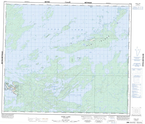
053L09 Gods Lake Canada topo map, 1:50,000 scale
053L09 Gods Lake NRCAN topographic map.
Includes UTM and GPS geographic coordinates (latitude and longitude). This 50k scale map is suitable for hiking, camping, and exploring, or you could frame it as a wall map.
Printed on-demand using high resolution, on heavy weight and acid free paper, or as an upgrade on a variety of synthetic materials.
Topos available on paper, Waterproof, Poly, or Tyvek. Usually shipping rolled, unless combined with other folded maps in one order.
- Product Number: NRCAN-053L09
- Parent Topo: TOPO-053L
- Map ID also known as: 053L09, 53L9, 53L09
- Unfolded Size: Approximately 26" high by 36" wide
- Weight (paper map): ca. 55 grams
- Map Type: POD NRCAN Topographic Map
- Map Scale: 1:50,000
- Geographical region: Manitoba, Canada
Neighboring Maps:
All neighboring Canadian topo maps are available for sale online at 1:50,000 scale.
Purchase the smaller scale map covering this area: Topo-053L
Spatial coverage:
Topo map sheet 053L09 Gods Lake covers the following places:
- Brown Bay - Palmer Bay - Smelter Bay - Kichenaonan Point - Niawaka Point - Mokomani Narrows - Chataway Lake/Knife Lake - God's Lake 23 - Billys Hole Island - Bray Island - Captains Island - Carl Island - Elk Island - Emerald Island - Green Island - High Island - Jowsey Island - Machonakos Islands - McLaren Island - Paskochi Island - Tower Island - Wapooskoweenik Island - Chataway Lake - Elb Lake - Gods Lake - Hopkins Lake - Knife Lake - Margaret Lake - Reno Lake - Mokomani Rapids - Knife River - Mary James Creek - Wuchusk Portage - Gods Lake - Gods Lake Narrows


