
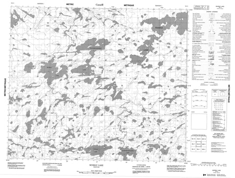
053L08 Murray Lake Canada topo map, 1:50,000 scale
053L08 Murray Lake NRCAN topographic map.
Includes UTM and GPS geographic coordinates (latitude and longitude). This 50k scale map is suitable for hiking, camping, and exploring, or you could frame it as a wall map.
Printed on-demand using high resolution, on heavy weight and acid free paper, or as an upgrade on a variety of synthetic materials.
Topos available on paper, Waterproof, Poly, or Tyvek. Usually shipping rolled, unless combined with other folded maps in one order.
- Product Number: NRCAN-053L08
- Parent Topo: TOPO-053L
- Map ID also known as: 053L08, 53L8, 53L08
- Unfolded Size: Approximately 26" high by 36" wide
- Weight (paper map): ca. 55 grams
- Map Type: POD NRCAN Topographic Map
- Map Scale: 1:50,000
- Geographical region: Manitoba, Canada
Neighboring Maps:
All neighboring Canadian topo maps are available for sale online at 1:50,000 scale.
Purchase the smaller scale map covering this area: Topo-053L
Spatial coverage:
Topo map sheet 053L08 Murray Lake covers the following places:
- Fathers Fishing Bay - Hawkins Bay - Gibson Point - McCallum Point - McCrae Peninsula - Johnston Narrows - Robertson Narrows - Wapaskaykow Narrows - Askew Island - Dey Island - Kostyk Island - Penonzek Island - William McLeod Island - Albert Phillips Lake - Gods Lake - Kapiskowuskwiatikos Lake - Murray Lake - Portage Lake - Thomas Phillips Lake - Wapaskaykow Lake - Wapeeminakoskak Lake - Webber Lake - Wechesawan Lake - Sikak Rapids


