
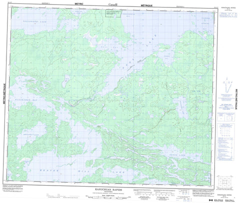
053L07 Kanuchuan Rapids Canada topo map, 1:50,000 scale
053L07 Kanuchuan Rapids NRCAN topographic map.
Includes UTM and GPS geographic coordinates (latitude and longitude). This 50k scale map is suitable for hiking, camping, and exploring, or you could frame it as a wall map.
Printed on-demand using high resolution, on heavy weight and acid free paper, or as an upgrade on a variety of synthetic materials.
Topos available on paper, Waterproof, Poly, or Tyvek. Usually shipping rolled, unless combined with other folded maps in one order.
- Product Number: NRCAN-053L07
- Parent Topo: TOPO-053L
- Map ID also known as: 053L07, 53L7, 53L07
- Unfolded Size: Approximately 26" high by 36" wide
- Weight (paper map): ca. 55 grams
- Map Type: POD NRCAN Topographic Map
- Map Scale: 1:50,000
- Geographical region: Manitoba, Canada
Neighboring Maps:
All neighboring Canadian topo maps are available for sale online at 1:50,000 scale.
Purchase the smaller scale map covering this area: Topo-053L
Spatial coverage:
Topo map sheet 053L07 Kanuchuan Rapids covers the following places:
- Andrew Bay - Fathers Fishing Bay - Pikokosip Bay - Sawmill Bay - Wasakamak Bay - Wesachewan Bay - Wolf Bay - Andrew Bay - God's Lake 23 - Fox Islands - McColm Island - Beaver Hill Lake - Beaverhill Lake - Gods Lake - Goose Lake - Kipiskwakun Lake - Mistuhe Lake - Mwoakwu Lake - Touchwood Lake - Peterson Esker - Kanuchuan Rapids - Waypapeekowin Rapids - Waypapeekuwin Rapids - White Deer Rapids - Island Lake River - Kanuchuan River - Mooskamoonik Creek


