
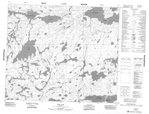
053L06 Joint Lake Canada topo map, 1:50,000 scale
053L06 Joint Lake NRCAN topographic map.
Includes UTM and GPS geographic coordinates (latitude and longitude). This 50k scale map is suitable for hiking, camping, and exploring, or you could frame it as a wall map.
Printed on-demand using high resolution, on heavy weight and acid free paper, or as an upgrade on a variety of synthetic materials.
Topos available on paper, Waterproof, Poly, or Tyvek. Usually shipping rolled, unless combined with other folded maps in one order.
- Product Number: NRCAN-053L06
- Parent Topo: TOPO-053L
- Map ID also known as: 053L06, 53L6, 53L06
- Unfolded Size: Approximately 26" high by 36" wide
- Weight (paper map): ca. 55 grams
- Map Type: POD NRCAN Topographic Map
- Map Scale: 1:50,000
- Geographical region: Manitoba, Canada
Neighboring Maps:
All neighboring Canadian topo maps are available for sale online at 1:50,000 scale.
Purchase the smaller scale map covering this area: Topo-053L
Spatial coverage:
Topo map sheet 053L06 Joint Lake covers the following places:
- Beatty Bay - Coulter Bay - Wasakamak Bay - Birch Peninsula - Cox Point - Gillespie Point - Harris Peninsula - Ritchie Point - Wapeekamasink Narrows - Wright Narrows - Wesha Kijay Wasagamach - Amos Lake - Aswapiswanan Lake - Beaver Hill Lake - Beaverhill Lake - Glen Small Lake - Joint Lake - Joseph Sinclair Lake - Kiask Lake - Namaykos Lake - Stewart Anderson Lake - Touchwood Lake - Norman Wilson Esker - Kakwu Rapids - Michiskun Rapids - Taylor Rapids - Bolton River - Joint River - Mink River - Porcupine Creek - Wapawukaw River


