
053L05 Bolton Lake Canada topo map, 1:50,000 scale
053L05 Bolton Lake NRCAN topographic map.
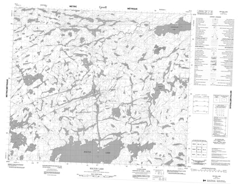
Includes UTM and GPS geographic coordinates (latitude and longitude). This 50k scale map is suitable for hiking, camping, and exploring, or you could frame it as a wall map.
Printed on-demand using high resolution, on heavy weight and acid free paper, or as an upgrade on a variety of synthetic materials.
Topos available on paper, Waterproof, Poly, or Tyvek. Usually shipping rolled, unless combined with other folded maps in one order.
- Product Number: NRCAN-053L05
- Parent Topo: TOPO-053L
- Map ID also known as: 053L05, 53L5, 53L05
- Unfolded Size: Approximately 26" high by 36" wide
- Weight (paper map): ca. 55 grams
- Map Type: POD NRCAN Topographic Map
- Map Scale: 1:50,000
- Geographical region: Manitoba, Canada
Neighboring Maps:
All neighboring Canadian topo maps are available for sale online at 1:50,000 scale.
Purchase the smaller scale map covering this area: Topo-053L
Spatial coverage:
Topo map sheet 053L05 Bolton Lake covers the following places:
- Bishop Bay - Stephens Bay - Tait Bay - McKay Narrows - McLeod Narrows - Baker Island - Carter Island - Amos Lake - Aswapiswanan Lake - Bolton Lake - Franklin Murray Lake - George Moore Lake - Kakwusis Lake - Kalliecahoolie Lake - Lavigne Lake - MacVicar Lake - Milton Lake - Pariseau Lake - Ralph Anderson Lake - Scorgie Lake - Kasukwapiskechewak Rapids - Bolton River - Hungry River - Porcupine Creek


