
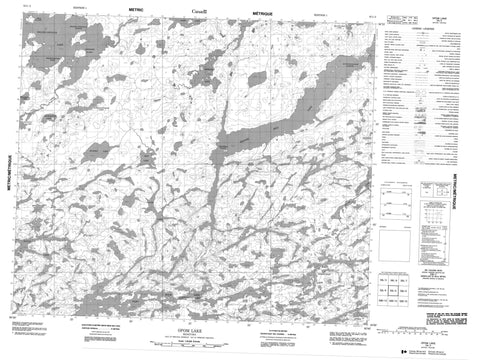
053L03 Opom Lake Canada topo map, 1:50,000 scale
053L03 Opom Lake NRCAN topographic map.
Includes UTM and GPS geographic coordinates (latitude and longitude). This 50k scale map is suitable for hiking, camping, and exploring, or you could frame it as a wall map.
Printed on-demand using high resolution, on heavy weight and acid free paper, or as an upgrade on a variety of synthetic materials.
Topos available on paper, Waterproof, Poly, or Tyvek. Usually shipping rolled, unless combined with other folded maps in one order.
- Product Number: NRCAN-053L03
- Parent Topo: TOPO-053L
- Map ID also known as: 053L03, 53L3, 53L03
- Unfolded Size: Approximately 26" high by 36" wide
- Weight (paper map): ca. 55 grams
- Map Type: POD NRCAN Topographic Map
- Map Scale: 1:50,000
- Geographical region: Manitoba, Canada
Neighboring Maps:
All neighboring Canadian topo maps are available for sale online at 1:50,000 scale.
Purchase the smaller scale map covering this area: Topo-053L
Spatial coverage:
Topo map sheet 053L03 Opom Lake covers the following places:
- Chambers Bay - Weeneeniasink Point - Kitchiwapeekamak Narrows - Kwaykwaycheewanik Narrows - Otamokeeseewayweenik Narrows - Amos Island - Sakwaysew Island - Sekawees Island - Beaver Hill Lake - Beaverhill Lake - Edmund Robinson Lake - Fairy Rock Lake - John Johnston Lake - Kakeenukamak Lake - Kalliecahoolie Lake - Kaskakwak Lake - Kiask Lake - Muche Lake - Muskwa Lake - Okin Lake - Opom Lake - Ralph Thompson Lake - Sakkink Lake - West Namaykos Lake - Westland Lake - Stevenson River


