
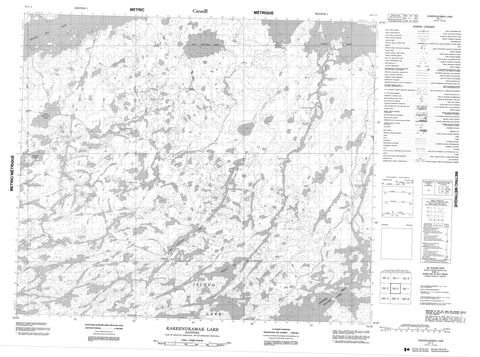
053L02 Kakeenukamak Lake Canada topo map, 1:50,000 scale
053L02 Kakeenukamak Lake NRCAN topographic map.
Includes UTM and GPS geographic coordinates (latitude and longitude). This 50k scale map is suitable for hiking, camping, and exploring, or you could frame it as a wall map.
Printed on-demand using high resolution, on heavy weight and acid free paper, or as an upgrade on a variety of synthetic materials.
Topos available on paper, Waterproof, Poly, or Tyvek. Usually shipping rolled, unless combined with other folded maps in one order.
- Product Number: NRCAN-053L02
- Parent Topo: TOPO-053L
- Map ID also known as: 053L02, 53L2, 53L02
- Unfolded Size: Approximately 26" high by 36" wide
- Weight (paper map): ca. 55 grams
- Map Type: POD NRCAN Topographic Map
- Map Scale: 1:50,000
- Geographical region: Manitoba, Canada
Neighboring Maps:
All neighboring Canadian topo maps are available for sale online at 1:50,000 scale.
Purchase the smaller scale map covering this area: Topo-053L
Spatial coverage:
Topo map sheet 053L02 Kakeenukamak Lake covers the following places:
- Chapin Bay - Oseekan Bay - Cameron Peninsula - Davidson Peninsula - Lee Point - Winking Point - Wapachenasik Narrows - Bee Falls - Gross Island - Manson Island - Nutter Island - Paille Island - Paillé Island - Spratt Island - Beaver Hill Lake - Beaverhill Lake - East Mistuhe Lake - East Namaykos Lake - Goose Lake - Ian Brown Lake - Island Lake - Kakeenukamak Lake - Kiskateena Lake - McCartney Lake - Mistuhe Lake - Namaykos Lake - Otookeekachi Lake - Thomas Martin Lake - West Mistuhe Lake - McKenzie Esker - Apasi Rapids - Bad Rapids - Bigstone Rapids - Carrot Rapids - Kakakekos Rapids - Kanuchuanus Rapids - Lynx Rapids - Namaykos Rapids - Oseekan Rapids - Pelican Rapids - Sakwaysew Rapids - Kiskateena Creek - Waypapeekowin Creek - Wachusk Portage - Ocheek Reef


