
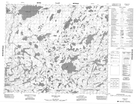
053L01 Mistuhe Lake Canada topo map, 1:50,000 scale
053L01 Mistuhe Lake NRCAN topographic map.
Includes UTM and GPS geographic coordinates (latitude and longitude). This 50k scale map is suitable for hiking, camping, and exploring, or you could frame it as a wall map.
Printed on-demand using high resolution, on heavy weight and acid free paper, or as an upgrade on a variety of synthetic materials.
Topos available on paper, Waterproof, Poly, or Tyvek. Usually shipping rolled, unless combined with other folded maps in one order.
- Product Number: NRCAN-053L01
- Parent Topo: TOPO-053L
- Map ID also known as: 053L01, 53L1, 53L01
- Unfolded Size: Approximately 26" high by 36" wide
- Weight (paper map): ca. 55 grams
- Map Type: POD NRCAN Topographic Map
- Map Scale: 1:50,000
- Geographical region: Manitoba, Canada
Neighboring Maps:
All neighboring Canadian topo maps are available for sale online at 1:50,000 scale.
Purchase the smaller scale map covering this area: Topo-053L
Spatial coverage:
Topo map sheet 053L01 Mistuhe Lake covers the following places:
- MacAulay Point - Panko Narrows - Drake Island - Alexander McKay Lake - Dyer Lake - Goose Lake - Island Lake - Kakeenukamak Lake - Kameesawaskwasik Lake - Kaneesosink Lakes - Kasapunakwak Lake - Kaseesapunakwak Lake - Keeseepeekwawunpeekowuk Lake - Mannell Lake - Mista Lake - Mistuhe Lake - Mokoman Lake - Oneeskawaywin Lake - Pakwanch Lake - Peace Lake - Place Lake - Pryde Lake - Pullen Lake - Robert Millar Lake - Rochon Lake - Sesep Lake - Wapeekokookoho Lake - Waseeswunkisiakotik Lake - Windham Lake - Gray Esker - Wood Esker - Kapiskowuskwiatikos River - Namaypin Creek


