
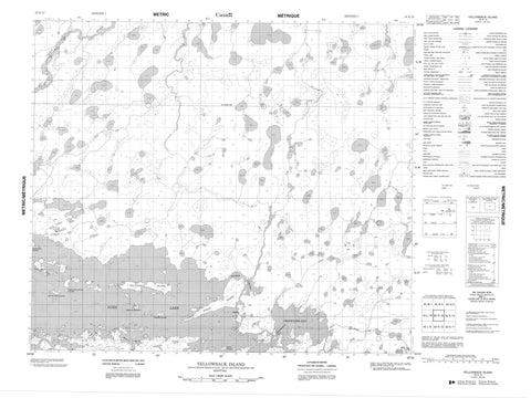
053K13 Yellowback Island Canada topo map, 1:50,000 scale
053K13 Yellowback Island NRCAN topographic map.
Includes UTM and GPS geographic coordinates (latitude and longitude). This 50k scale map is suitable for hiking, camping, and exploring, or you could frame it as a wall map.
Printed on-demand using high resolution, on heavy weight and acid free paper, or as an upgrade on a variety of synthetic materials.
Topos available on paper, Waterproof, Poly, or Tyvek. Usually shipping rolled, unless combined with other folded maps in one order.
- Product Number: NRCAN-053K13
- Parent Topo: TOPO-053K
- Map ID also known as: 053K13, 53K13
- Unfolded Size: Approximately 26" high by 36" wide
- Weight (paper map): ca. 55 grams
- Map Type: POD NRCAN Topographic Map
- Map Scale: 1:50,000
- Geographical region: Manitoba, Canada
Neighboring Maps:
All neighboring Canadian topo maps are available for sale online at 1:50,000 scale.
Purchase the smaller scale map covering this area: Topo-053K
Spatial coverage:
Topo map sheet 053K13 Yellowback Island covers the following places:
- Graveyard Bay - Minayhapan Bay - Okas Bay - Hurley Island - Caldwell Island - Fuller Island - Hurley Island - McKays Island - Mikes Island - Mistay Amos Island - Muskwumi Island - Oxford Island - Tipapayskochikas Island - Yellowback Island - Albert Collins Lake - Gods Lake - Malcolm Kennedy Lake - Peetamanitou Lake - Okemow Rapids - Gods River - Piskwakatawakow Creek - Sepaskak Channel


