
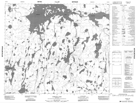
053K11 Edmund Lake Canada topo map, 1:50,000 scale
053K11 Edmund Lake NRCAN topographic map.
Includes UTM and GPS geographic coordinates (latitude and longitude). This 50k scale map is suitable for hiking, camping, and exploring, or you could frame it as a wall map.
Printed on-demand using high resolution, on heavy weight and acid free paper, or as an upgrade on a variety of synthetic materials.
Topos available on paper, Waterproof, Poly, or Tyvek. Usually shipping rolled, unless combined with other folded maps in one order.
- Product Number: NRCAN-053K11
- Parent Topo: TOPO-053K
- Map ID also known as: 053K11, 53K11
- Unfolded Size: Approximately 26" high by 36" wide
- Weight (paper map): ca. 55 grams
- Map Type: POD NRCAN Topographic Map
- Map Scale: 1:50,000
- Geographical region: Manitoba, Canada
Neighboring Maps:
All neighboring Canadian topo maps are available for sale online at 1:50,000 scale.
Purchase the smaller scale map covering this area: Topo-053K
Spatial coverage:
Topo map sheet 053K11 Edmund Lake covers the following places:
- Kitchisakik Bay - Todd Bay - Wapawaka Bay - Wilkinson Bay - Bateman Island - Buckley Island - Fred Brown Island - Gordon Brown Island - Madden Island - Marks Island - Aiken Lake - Allan Parker Lake - Blackford Lake - Buchanan Lake - David Clark Lake - Dorral Lake - Dorval Lake - Edmund Lake - Gile Lake - John Aitken Lake - Kapaykwakamokatik Lake - Kwaskwaypichikawan Lake - Le Maistre Lake - Margaret Lake - Mistatikamik Lake - Modeen Lake - Okas Lake - Rothery Lake - Rothesay Lake - Trenter Lake - Trentner Lake - Wapapiskwatayo Lake - Wapikapow Lake - Atim River - Kanusasu River - Micheekun River - Mistatikamik River - Okas Creek - Red Sucker River - Sakik Creek - Wapawaka River - Kitchisakik - Matawak


