
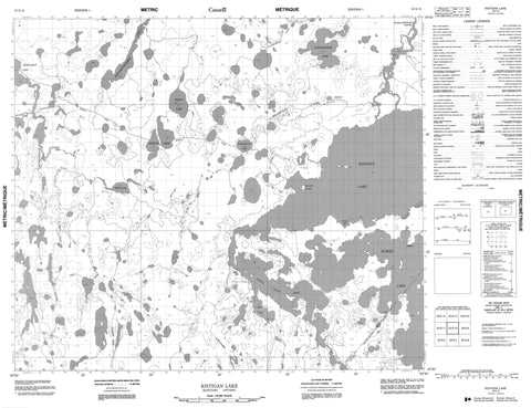
053K10 Kistigan Lake Canada topo map, 1:50,000 scale
053K10 Kistigan Lake NRCAN topographic map.
Includes UTM and GPS geographic coordinates (latitude and longitude). This 50k scale map is suitable for hiking, camping, and exploring, or you could frame it as a wall map.
Printed on-demand using high resolution, on heavy weight and acid free paper, or as an upgrade on a variety of synthetic materials.
Topos available on paper, Waterproof, Poly, or Tyvek. Usually shipping rolled, unless combined with other folded maps in one order.
- Product Number: NRCAN-053K10
- Parent Topo: TOPO-053K
- Map ID also known as: 053K10, 53K10
- Unfolded Size: Approximately 26" high by 36" wide
- Weight (paper map): ca. 55 grams
- Map Type: POD NRCAN Topographic Map
- Map Scale: 1:50,000
- Geographical region: Manitoba, Canada
Neighboring Maps:
All neighboring Canadian topo maps are available for sale online at 1:50,000 scale.
Purchase the smaller scale map covering this area: Topo-053K
Spatial coverage:
Topo map sheet 053K10 Kistigan Lake covers the following places:
- Ken Bay - Davies Peninsula - Henry Anderson Peninsula - North Prominent Ridge - Muskwa Island - David Clark Lake - Errin Lake - Georgia Lake - Kapeemichakamak Lake - Kerry Lake - Kistigan Lake - Little Stull Lake - Manashinue Lake - Margaret Lake - Patemaykwan Lake - Polnuk Lake - Reginald McKay Lake - Rorke Lake - Rorke Lake - Reed Rapids - Stanley Rapids - Wamaytekochu Rapids - Manashinue River - Micheekun River - Musketkwatik River - Patemaykwan River - Stull River - Stull River


