
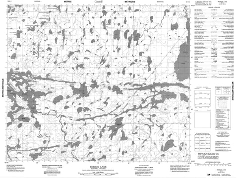
053K03 Robson Lake Canada topo map, 1:50,000 scale
053K03 Robson Lake NRCAN topographic map.
Includes UTM and GPS geographic coordinates (latitude and longitude). This 50k scale map is suitable for hiking, camping, and exploring, or you could frame it as a wall map.
Printed on-demand using high resolution, on heavy weight and acid free paper, or as an upgrade on a variety of synthetic materials.
Topos available on paper, Waterproof, Poly, or Tyvek. Usually shipping rolled, unless combined with other folded maps in one order.
- Product Number: NRCAN-053K03
- Parent Topo: TOPO-053K
- Map ID also known as: 053K03, 53K3, 53K03
- Unfolded Size: Approximately 26" high by 36" wide
- Weight (paper map): ca. 55 grams
- Map Type: POD NRCAN Topographic Map
- Map Scale: 1:50,000
- Geographical region: Manitoba, Canada
Neighboring Maps:
All neighboring Canadian topo maps are available for sale online at 1:50,000 scale.
Purchase the smaller scale map covering this area: Topo-053K
Spatial coverage:
Topo map sheet 053K03 Robson Lake covers the following places:
- Munro Bay - Muskomotak Point - Ostikwankay Point - Sakink Point - Asooikaywanik Narrows - Chewaykunapesiskak Narrows - Nattaway Narrows - Sekakostikwanik Narrows - Kakistapkichuk Falls - Nakapekak Falls - Atikwawikun Island - Mantomin Island - Pritchard Island - Wicks Island - Brabazon Lake - East Kakenokamak Lake - Hales Lake - Iskwayach Lake - Kamineetokowak Lake - Kapimechekamak Lake - Kasawkanepewokses Lake - Kwantakeeseekamak Lake - Makeesinis Lake - Mankos Lake - Moose Lake - Mukataysip Lake - Mukataysipwapeekamak Lake - Neetumkamisi Lake - Nekwakanaykanak Lake - Okas Lake - Omintawaywinik Lakes - Osakahikansismowak Lake - Pekwachnamaykoskwaskwaypinwanik Lake - Pierce Lake - Pierce Lake - Red Sucker Lake - Robert Stevenson Lake - Robson Lake - West Kakenokamak Lake - Kakenachinak Rapids - Miskamaypin Rapids - Mukataysip Rapids - Kasisakakank Creek - Kitchiamikwesik Creek - Mankoskapakayak River - Mukataysip Creek - Red Sucker River - Seeber River - Willis Creek - East Atik Portage - Kinawko Portage - New Portage - Peekwatateekak Portage - West Atik Portage - Piponshewanik


