
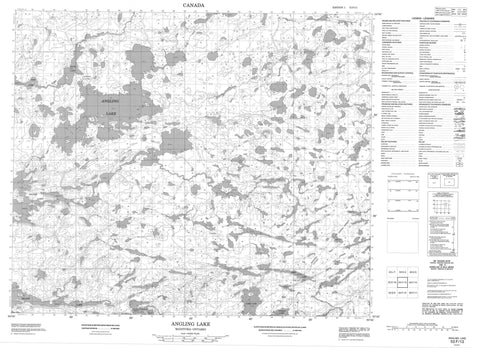
053F13 Angling Lake Canada topo map, 1:50,000 scale
053F13 Angling Lake NRCAN topographic map.
Includes UTM and GPS geographic coordinates (latitude and longitude). This 50k scale map is suitable for hiking, camping, and exploring, or you could frame it as a wall map.
Printed on-demand using high resolution, on heavy weight and acid free paper, or as an upgrade on a variety of synthetic materials.
Topos available on paper, Waterproof, Poly, or Tyvek. Usually shipping rolled, unless combined with other folded maps in one order.
- Product Number: NRCAN-053F13
- Parent Topo: TOPO-053F
- Map ID also known as: 053F13, 53F13
- Unfolded Size: Approximately 26" high by 36" wide
- Weight (paper map): ca. 55 grams
- Map Type: POD NRCAN Topographic Map
- Map Scale: 1:50,000
- Geographical region: Manitoba, Canada
Neighboring Maps:
All neighboring Canadian topo maps are available for sale online at 1:50,000 scale.
Purchase the smaller scale map covering this area: Topo-053F
Spatial coverage:
Topo map sheet 053F13 Angling Lake covers the following places:
- Alexander Bay - John Campbell Bay - John Smith Bay - Wemtikosi Bay - Forster Peninsula - Irwin Peninsula - Davis Narrows - Nayapeekak Falls - Wolf River - Almey Lake - Angling Lake - Baller Lake - Chuskakinaonik Lake - Devenish Lake - Duck Lake - Edy Lake - Eyachekush Lake - Harney Lake - Island Lake - Kakokamak Lake - Kawayakamak Lake - Keskwayintakoseepi Lake - Kokookus Lake - Kokos Lake - Krawchuk Lake - Mahikun Lake - Manko Lake - Mistuhe Lake - Muswagon Lake - Nayapeekak Lake - Omeeneekway Lake - Perron Lake - Rail Lake - Ridgers Lake - Ridgers Lake - Spinks Lake - Walter Lovell Lake - Wameekwas Lake - Wapus Lake - Warmington Lake - Wedd Lake - Wedd Lake - Weskachmik Lake - Wuneekwineema Lake - Opasquia Provincial Park - Kokookus Rapids - Sopay Rapids - Jackfish Creek - Kokookus Creek - Mahikun Creek - Sagawitchewan River - Sopay Creek - Weesakachak Creek - York River - Mosquito Portage - Sopay Portage - Johnsonkank


