
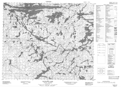
053F12 Hayward Lake Canada topo map, 1:50,000 scale
053F12 Hayward Lake NRCAN topographic map.
Includes UTM and GPS geographic coordinates (latitude and longitude). This 50k scale map is suitable for hiking, camping, and exploring, or you could frame it as a wall map.
Printed on-demand using high resolution, on heavy weight and acid free paper, or as an upgrade on a variety of synthetic materials.
Topos available on paper, Waterproof, Poly, or Tyvek. Usually shipping rolled, unless combined with other folded maps in one order.
- Product Number: NRCAN-053F12
- Parent Topo: TOPO-053F
- Map ID also known as: 053F12, 53F12
- Unfolded Size: Approximately 26" high by 36" wide
- Weight (paper map): ca. 55 grams
- Map Type: POD NRCAN Topographic Map
- Map Scale: 1:50,000
- Geographical region: Manitoba, Canada
Neighboring Maps:
All neighboring Canadian topo maps are available for sale online at 1:50,000 scale.
Purchase the smaller scale map covering this area: Topo-053F
Spatial coverage:
Topo map sheet 053F12 Hayward Lake covers the following places:
- Kakapkaychowinsink Bay - Nikikwapik Bay - Nikikwapikonsik Bay - Sagawitchewan Bay - Wemtikosi Bay - Manito Narrows - Mooseekanik Narrows - Sea Gull Falls - Almey Lake - Arnot Lake - Arnot Lake - Burnt Lake - Cocos Lake - Donoghue Lake - Hayward Lake - Hayward Lake - Hilton Lake - Hilton Lake - Island Lake - Jenvey Lake - Joint Lake - McIver Lake - McPhail Lake - McPhail Lake - Ridgers Lake - Ridgers Lake - Sabourin Lake - Opasquia Provincial Park - Sakawichewan Rapids - Meegeesi River - Sadler River - Sagawitchewan River - Sagawitchewan River - Isputenow Portage - Pisew Portage - Weesakachak


