
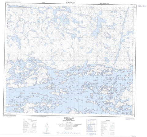
053E16 York Lake Canada topo map, 1:50,000 scale
053E16 York Lake NRCAN topographic map.
Includes UTM and GPS geographic coordinates (latitude and longitude). This 50k scale map is suitable for hiking, camping, and exploring, or you could frame it as a wall map.
Printed on-demand using high resolution, on heavy weight and acid free paper, or as an upgrade on a variety of synthetic materials.
Topos available on paper, Waterproof, Poly, or Tyvek. Usually shipping rolled, unless combined with other folded maps in one order.
- Product Number: NRCAN-053E16
- Parent Topo: TOPO-053E
- Map ID also known as: 053E16, 53E16
- Unfolded Size: Approximately 26" high by 36" wide
- Weight (paper map): ca. 55 grams
- Map Type: POD NRCAN Topographic Map
- Map Scale: 1:50,000
- Geographical region: Manitoba, Canada
Neighboring Maps:
All neighboring Canadian topo maps are available for sale online at 1:50,000 scale.
Purchase the smaller scale map covering this area: Topo-053E
Spatial coverage:
Topo map sheet 053E16 York Lake covers the following places:
- Chapin Bay - Cochrane Bay - Makosteekwaneekakan Bay - Nicholls Bay - Onutow Bay - Turcotte Bay - Howe Peninsula - Ralph Point - Stewart Black Peninsula - Walteres Point - Walters Point - Collins Narrows - Keekwahukayo Narrows - Mahamo Narrows - Pickerel Narrows - Bluff Island - Bouchard Island - Boyd Island - Chain Islands - Eyapaysis Islands - Grand Island - Hallett Island - Harper Island - Heart Island - Johnston Graham Island - Keespakotik Island - Lawrence Island - Loonfoot Island - Maykasi Island - McHugh Island - McPhail Island - Meegeesiwaseeson Island - Meyer Island - Neville Island - Normand Island - Norrie Island - Okay Island - Potter Island - Savage Islands - Sinclair Islands - Strachan Island - Thordarson Island - Webster Island - Whiteway Island - York Island - Irving Lake - Island Lake - John Hughes Lake - Kamisikamak Lake - Kaneenokamak Lake - Kokus Lake - Krolman Lake - Letkeman Lake - Long Lake - Mangnakwagan Lake - McGowan Lake - Ministikos Lake - Moran Lake - Okasanmeekanan Lake - Pasataypechekun Lake - Walsh Lake - York Lake - Kamekanskwatinak Hill - Mahamo Portage - Kitchiokonim Place


