
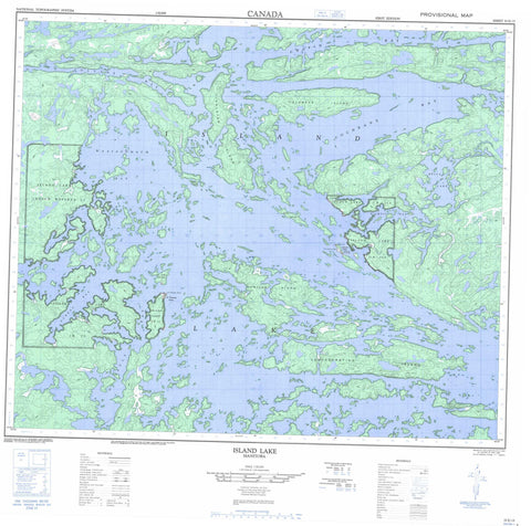
053E15 Island Lake Canada topo map, 1:50,000 scale
053E15 Island Lake NRCAN topographic map.
Includes UTM and GPS geographic coordinates (latitude and longitude). This 50k scale map is suitable for hiking, camping, and exploring, or you could frame it as a wall map.
Printed on-demand using high resolution, on heavy weight and acid free paper, or as an upgrade on a variety of synthetic materials.
Topos available on paper, Waterproof, Poly, or Tyvek. Usually shipping rolled, unless combined with other folded maps in one order.
- Product Number: NRCAN-053E15
- Parent Topo: TOPO-053E
- Map ID also known as: 053E15, 53E15
- Unfolded Size: Approximately 26" high by 36" wide
- Weight (paper map): ca. 55 grams
- Map Type: POD NRCAN Topographic Map
- Map Scale: 1:50,000
- Geographical region: Manitoba, Canada
Neighboring Maps:
All neighboring Canadian topo maps are available for sale online at 1:50,000 scale.
Purchase the smaller scale map covering this area: Topo-053E
Spatial coverage:
Topo map sheet 053E15 Island Lake covers the following places:
- Alfred Moore Bay - Chapin Bay - Cochrane Bay - Collins Bay - D'Arcis Bay - Dubeau Bay - Dussault Bay - Edwin Young Bay - Meegeesi Bay - Waasagomach Bay - Wasagamack Bay - Fleet Point - MacTavish Peninsula - Milton Peninsula - St. Theresa Point - Kakeeskow Narrows - Bella Lake Exchange Lands - Garden Hill First Nation - Island Lake Indian Reserve 22 - Island Lake Indian Reserve 22A - Réserve indienne Island Lake 22 - Réserve indienne Island Lake 22A - St. Theresa Point - Wasagamack - Alexander Island - Arthur Moore Island - Beeminigi Island - Booth Island - Chapin Island - Chudzik Island - Cochrane Island - Confederation Island - Disbrowe Island - Donald Stewart Island - Dutil Island - Dutile Island - Goulet Island - Gravel Island - Henderson Island - Holdstock Island - Horseshoe Island - Jubilee Island - Kokus Island - Linklater Island - Long Island - Maynard Island - McAuley Island - Miller Island - Nelson Island - Oganse Island - Pipe Point Island - Rex Island - Richardson Island - St. Mary Island - Stevenson Island - Wass Island - Wylie Island - Alexander Mitchell Lake - Bella Lake - Farand Lake - Island Lake - Ministik Mine - Mukataywagus River - Eagle Portage - Meeswi Portage - Garden Hill - Island Lake - Kapaneewekamik Place - St. Theresa Point - Waasagomach - Waasagomach Bay - Wasagamack


