
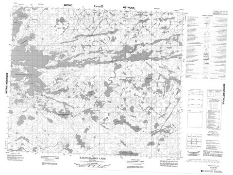
053E13 Kakinokamak Lake Canada topo map, 1:50,000 scale
053E13 Kakinokamak Lake NRCAN topographic map.
Includes UTM and GPS geographic coordinates (latitude and longitude). This 50k scale map is suitable for hiking, camping, and exploring, or you could frame it as a wall map.
Printed on-demand using high resolution, on heavy weight and acid free paper, or as an upgrade on a variety of synthetic materials.
Topos available on paper, Waterproof, Poly, or Tyvek. Usually shipping rolled, unless combined with other folded maps in one order.
- Product Number: NRCAN-053E13
- Parent Topo: TOPO-053E
- Map ID also known as: 053E13, 53E13
- Unfolded Size: Approximately 26" high by 36" wide
- Weight (paper map): ca. 55 grams
- Map Type: POD NRCAN Topographic Map
- Map Scale: 1:50,000
- Geographical region: Manitoba, Canada
Neighboring Maps:
All neighboring Canadian topo maps are available for sale online at 1:50,000 scale.
Purchase the smaller scale map covering this area: Topo-053E
Spatial coverage:
Topo map sheet 053E13 Kakinokamak Lake covers the following places:
- Asoheesipaywinink Bay - Gibson Bay - Mistatimokameekonk Bay - Opeepoiska Bay - Sanderson Bay - Bruce Peninsula - McRae Peninsula - Matowokamank Narrows - Wapaskank Narrows - Wapawongank Narrows - Barber Island - Gilbert Island - More Island - Acheetamo Lake - Big Meegeesi Lake - George Kelly Lake - Kakinokamak Lake - Kameechensakaywak Lake - Kapankskwakakamak Lake - Kokookoho Lake - Lychowich Lake - Maseenapeekeenekin Lake - Meegeesi Lake - Meegeesi Rapids Lake - Mukatamik Lake - Ogas Lake - Ogit Lake - Pacha Lake - Raven Lake - Salmon Lake - Stevenson Lake - Wakun Lake - Wapaskekank Lakes - Weekwaymot Lake - Deer Rapids - Matanagama River - Stevenson River


