
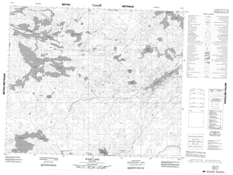
053E11 Wass Lake Canada topo map, 1:50,000 scale
053E11 Wass Lake NRCAN topographic map.
Includes UTM and GPS geographic coordinates (latitude and longitude). This 50k scale map is suitable for hiking, camping, and exploring, or you could frame it as a wall map.
Printed on-demand using high resolution, on heavy weight and acid free paper, or as an upgrade on a variety of synthetic materials.
Topos available on paper, Waterproof, Poly, or Tyvek. Usually shipping rolled, unless combined with other folded maps in one order.
- Product Number: NRCAN-053E11
- Parent Topo: TOPO-053E
- Map ID also known as: 053E11, 53E11
- Unfolded Size: Approximately 26" high by 36" wide
- Weight (paper map): ca. 55 grams
- Map Type: POD NRCAN Topographic Map
- Map Scale: 1:50,000
- Geographical region: Manitoba, Canada
Neighboring Maps:
All neighboring Canadian topo maps are available for sale online at 1:50,000 scale.
Purchase the smaller scale map covering this area: Topo-053E
Spatial coverage:
Topo map sheet 053E11 Wass Lake covers the following places:
- Omakakeenayapekank Point - Wapatinasing Narrows - Big Marker Lake - Bigstone Lake - Clam Lake - Cordeau Lake - Kamatwaykomtuach Lake - Kananachwayak Lake - Knight Lake - Kokokoho Lake - Makwa Lake - Miskwa Lake - Ningik Lake - Oskano Lake - Picket Lake - Sheekak Lake - Sheekakway Lake - Wass Lake - Wenusk Lake - Clam Creek - Pansowan Creek - Red Water River - Waskao River - Wass River - Frond Marsh


