
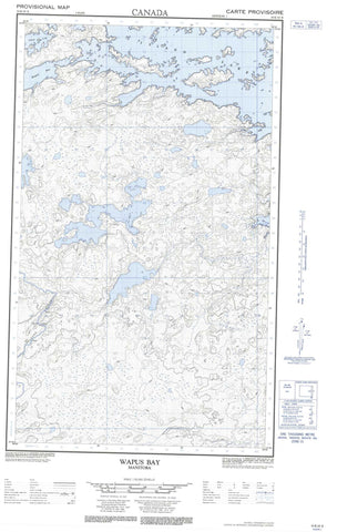
053E10E Wapus Bay Canada topo map, 1:50,000 scale
053E10E Wapus Bay NRCAN topographic map.
Includes UTM and GPS geographic coordinates (latitude and longitude). This 50k scale map is suitable for hiking, camping, and exploring, or you could frame it as a wall map.
Printed on-demand using high resolution, on heavy weight and acid free paper, or as an upgrade on a variety of synthetic materials.
Topos available on paper, Waterproof, Poly, or Tyvek. Usually shipping rolled, unless combined with other folded maps in one order.
- Halfsheet: This map was designed as a half sheet of NRCAN-053E10, and it is the Eastern half. Find the western half sheet here.
- Product Number: NRCAN-053E10E
- Parent Topo: TOPO-053E
- Map ID also known as: 053E10, 53E10
- Unfolded Size: Approximately 26" high by 36" wide
- Weight (paper map): ca. 55 grams
- Map Type: POD NRCAN Topographic Map
- Map Scale: 1:50,000
- Geographical region: Manitoba, Canada
Neighboring Maps:
All neighboring Canadian topo maps are available for sale online at 1:50,000 scale.
Purchase the smaller scale map covering this area: Topo-053E
Spatial coverage:
Topo map sheet 053E10E Wapus Bay covers the following places:
- Bear Bay - Dussault Bay - Highway Bay - Kakaki Bay - Makataywachusk Bay - Wapus Bay - Bartley Island - Markle Island - Paskwakisigan Island - Ankle Lake - Cordeau Lake - Dead Fall Lake - Island Lake - Kakaki Lake - Kakakiunank Lake - Kiaskos Lake - Kitchi Lake - Kokokoho Lake - Lynx Lake - Many Rapids Lake - Ochonipi Lake - Pokokeena Lake - Pusawgan Lake - Tullibee Lake - Wencheek Lake - Okas Rapids - Opeeway Rapids - Saseek Rapids - Clam Creek - Isbister River - Kiaskos River - Makataywachusk River - Pakwanchi Creek


