
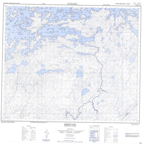
053E09 Benson Bay Canada topo map, 1:50,000 scale
053E09 Benson Bay NRCAN topographic map.
Includes UTM and GPS geographic coordinates (latitude and longitude). This 50k scale map is suitable for hiking, camping, and exploring, or you could frame it as a wall map.
Printed on-demand using high resolution, on heavy weight and acid free paper, or as an upgrade on a variety of synthetic materials.
Topos available on paper, Waterproof, Poly, or Tyvek. Usually shipping rolled, unless combined with other folded maps in one order.
- Product Number: NRCAN-053E09
- Parent Topo: TOPO-053E
- Map ID also known as: 053E09, 53E9, 53E09
- Unfolded Size: Approximately 26" high by 36" wide
- Weight (paper map): ca. 55 grams
- Map Type: POD NRCAN Topographic Map
- Map Scale: 1:50,000
- Geographical region: Manitoba, Canada
Neighboring Maps:
All neighboring Canadian topo maps are available for sale online at 1:50,000 scale.
Purchase the smaller scale map covering this area: Topo-053E
Spatial coverage:
Topo map sheet 053E09 Benson Bay covers the following places:
- Benson Bay - Kakaki Bay - Kakapkaychowinsink Bay - Kitchinayapeekak Point - Kwaykwaykaychewan Narrows - Ministikpukatawagan Narrows - Wapanagak Narrows - Grand Island - Makaysi Island - Paskwakisigan Island - Akasko Lake - Anekawasoseekak Lake - Atasko Lake - Island Lake - Many Rapids Lake - Namapin Lake - Pa Lake - Peekwatana Lake - Peetawaykamak Lake - Wapisi Lake - Pakwanchi Rapids - Banksian River - Bourne River - Kakaki Creek - Pakwanchi Creek - Peekwatana River - Sadler River - Wapisi River - Kakaki Portage - Oseemakotapeewin Portage - Wachusk Portage


