
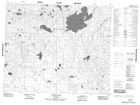
053E06 Cantin Lake Canada topo map, 1:50,000 scale
053E06 Cantin Lake NRCAN topographic map.
Includes UTM and GPS geographic coordinates (latitude and longitude). This 50k scale map is suitable for hiking, camping, and exploring, or you could frame it as a wall map.
Printed on-demand using high resolution, on heavy weight and acid free paper, or as an upgrade on a variety of synthetic materials.
Topos available on paper, Waterproof, Poly, or Tyvek. Usually shipping rolled, unless combined with other folded maps in one order.
- Product Number: NRCAN-053E06
- Parent Topo: TOPO-053E
- Map ID also known as: 053E06, 53E6, 53E06
- Unfolded Size: Approximately 26" high by 36" wide
- Weight (paper map): ca. 55 grams
- Map Type: POD NRCAN Topographic Map
- Map Scale: 1:50,000
- Geographical region: Manitoba, Canada
Neighboring Maps:
All neighboring Canadian topo maps are available for sale online at 1:50,000 scale.
Purchase the smaller scale map covering this area: Topo-053E
Spatial coverage:
Topo map sheet 053E06 Cantin Lake covers the following places:
- Cantin Lake - Atikos Lake - Beaver Claw Lake - Big Marker Lake - Cantin Lake - Keekwahongay Lake - Natwingay Lake - Sheekakway Lake - Stranger Lake - Sucker Lake - Titipikus Lake - Wachusk Lake - Beaver Claw Creek - Kite Creek - Muskego Creek - Grand Muskeg - White Ostrich Muskeg


