
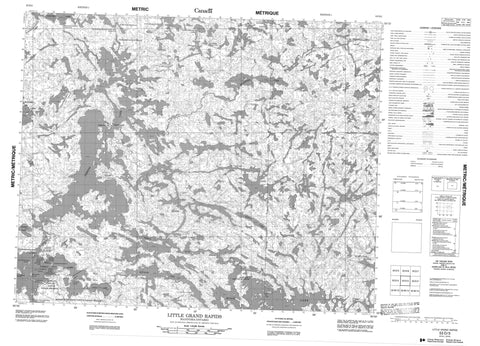
053D03 Little Grand Rapids Canada topo map, 1:50,000 scale
053D03 Little Grand Rapids NRCAN topographic map.
Includes UTM and GPS geographic coordinates (latitude and longitude). This 50k scale map is suitable for hiking, camping, and exploring, or you could frame it as a wall map.
Printed on-demand using high resolution, on heavy weight and acid free paper, or as an upgrade on a variety of synthetic materials.
Topos available on paper, Waterproof, Poly, or Tyvek. Usually shipping rolled, unless combined with other folded maps in one order.
- Product Number: NRCAN-053D03
- Parent Topo: TOPO-053D
- Map ID also known as: 053D03, 53D3, 53D03
- Unfolded Size: Approximately 26" high by 36" wide
- Weight (paper map): ca. 55 grams
- Map Type: POD NRCAN Topographic Map
- Map Scale: 1:50,000
- Geographical region: Manitoba, Canada
Neighboring Maps:
All neighboring Canadian topo maps are available for sale online at 1:50,000 scale.
Purchase the smaller scale map covering this area: Topo-053D
Spatial coverage:
Topo map sheet 053D03 Little Grand Rapids covers the following places:
- Kamanomeeneekak Bay - Kapeecheetawekamak Bay - Neekameeneekwaywenink Bay - Omeekasoweening Point - Weecheekeenayasi Point - Ununtakameeiwin Narrows - Little Grand Rapids 14 - Pauingassi First Nation - Asatewenis Island - Awakannis Island - Kechimenis Island - Keecheemokoman Island - Keeteegan Island - Pakwayes Island - Peseskiweeteekwan Island - Pisew Island - Assinika Lake - Bradburn Lake - Bradburn Lake - Douglas Lake - Family Lake - Fishing Lake - Flett Lake - Gib Lake - Goldthorpe Lake - Goldthorpe Lake - Kameechikamak Lake - Kawashakamik Lake - Maman Lake - Moar Lake - Moar Lake - Pascall Lake - Pascall Lake - Ritchie Lake - Ritchie Lake - Root Lake - Sharpstone Lake - Wapako Lake - Winship Lake - Manitoba - Manito Rapids - Meegeesi Rapids - Paseepawistik Rapids - Berens River - Berens River - Bradburn River - Bradburn River - Makwanegunink Creek - Kameechikamak Portage - Manomeenikameeneekami Portage - Meetoseenekun Portage - Namaykosseeneekom Portage - Little Grand Rapids - Pauingassi - Paungassi


