
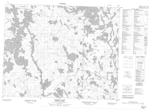
052M14 Family Lake Canada topo map, 1:50,000 scale
052M14 Family Lake NRCAN topographic map.
Includes UTM and GPS geographic coordinates (latitude and longitude). This 50k scale map is suitable for hiking, camping, and exploring, or you could frame it as a wall map.
Printed on-demand using high resolution, on heavy weight and acid free paper, or as an upgrade on a variety of synthetic materials.
Topos available on paper, Waterproof, Poly, or Tyvek. Usually shipping rolled, unless combined with other folded maps in one order.
- Product Number: NRCAN-052M14
- Parent Topo: TOPO-052M
- Map ID also known as: 052M14, 52M14
- Unfolded Size: Approximately 26" high by 36" wide
- Weight (paper map): ca. 55 grams
- Map Type: POD NRCAN Topographic Map
- Map Scale: 1:50,000
- Geographical region: Manitoba, Canada
Neighboring Maps:
All neighboring Canadian topo maps are available for sale online at 1:50,000 scale.
Purchase the smaller scale map covering this area: Topo-052M
Spatial coverage:
Topo map sheet 052M14 Family Lake covers the following places:
- McKay Bay - Okasanegun Bay - Acheetamonias Point - Kaowpapeekak Point - Little Grand Rapids 14 - Akik Lake - Cavanagh Lake - Cavanagh Lake - Dogskin Lake - Family Lake - Frances Lake - Frances Lake - Hutch Lake - Kayatawanaygoka Lakes - Malaher Lake - Mannifrank Lake - Meskwatasee Lake - Moar Lake - Moar Lake - Nasatagun Lake - Packman Lake - Packman Lake - Pady Lake - Patey Lake - Sesep Lake - Sharpstone Lake - White Eye Lake - Withers Lake - Atikaki Provincial Park - Atikaki Provincial Wilderness Park - Whitefish Rapids - Dogskin River - Keeper River - Nasatagun Creek


