
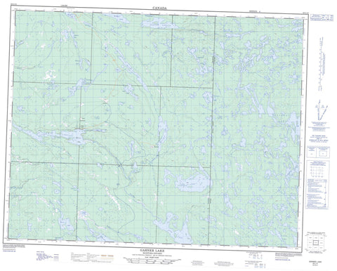
052L14 Garner Lake Canada topo map, 1:50,000 scale
052L14 Garner Lake NRCAN topographic map.
Includes UTM and GPS geographic coordinates (latitude and longitude). This 50k scale map is suitable for hiking, camping, and exploring, or you could frame it as a wall map.
Printed on-demand using high resolution, on heavy weight and acid free paper, or as an upgrade on a variety of synthetic materials.
Topos available on paper, Waterproof, Poly, or Tyvek. Usually shipping rolled, unless combined with other folded maps in one order.
- Product Number: NRCAN-052L14
- Parent Topo: TOPO-052L
- Map ID also known as: 052L14, 52L14
- Unfolded Size: Approximately 26" high by 36" wide
- Weight (paper map): ca. 55 grams
- Map Type: POD NRCAN Topographic Map
- Map Scale: 1:50,000
- Geographical region: Manitoba, Canada
Neighboring Maps:
All neighboring Canadian topo maps are available for sale online at 1:50,000 scale.
Purchase the smaller scale map covering this area: Topo-052L
Spatial coverage:
Topo map sheet 052L14 Garner Lake covers the following places:
- Grassy Rice Bay - The Narrows - Bennett Lake - Beresford Lake - Bidou Lake - Buffalo Lakes - Cliff Lake - Crystal Lake - Day Lake - Dove Lake - East Winchester Lake - Edmunds Lake - Faraway Lake - Finger Lake - Garner Lake - Garner Lake - Gem Lake - Grassy Rice Lake - Haggart Lake - Halfway Lake - Hamiltons Lake - Hollinsworth Lake - Holmstrom Lake - Holmstrom Lake - Johnnie Lake - Lavallee Lake - Linwood Lake - Lonely Lake - Long Lake - Mabel Lake - Maberly Lake - Mather Lake - McLeod Lake - Moore Lake - Moose Lake - Overhang Lake - Palomar Lake - Partridge Lake - Port Lake - Quartz Lake - Roybrown Lake - Roybrown Lake - Shelley Lake - Shesheep Lake - Siderock Lake - Stormy Lake - Stovel Lake - Teichrib Lake - Tinney Lake - Tooth Lake - Trident Lake - Turkey Lake - Twin Lakes - Wallace Lake - Wentworth Lake - West Winchester Lake - Atikaki Provincial Wilderness Park - Nopiming Provincial Park - South Atikaki Park Reserve - Woodland Caribou Provincial Park - Manitoba - Beresford Creek - Bidou Creek - Bulldog Creek - Garner Creek - Garner River - Garner River - Garner River - Haggart River - Irregular River - Johnnie Creek - Manigotagan River - Moore Creek - Moore Creek - Moose River - Ross River - Tinney Creek - Trident Creek - Wanipigow River - Wanipigow River - Conley Trail - Beresford Lake - Long Lake - Wadhope - Wallace Lake


