
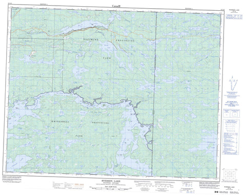
052L06 Ryerson Lake Canada topo map, 1:50,000 scale
052L06 Ryerson Lake NRCAN topographic map.
Includes UTM and GPS geographic coordinates (latitude and longitude). This 50k scale map is suitable for hiking, camping, and exploring, or you could frame it as a wall map.
Printed on-demand using high resolution, on heavy weight and acid free paper, or as an upgrade on a variety of synthetic materials.
Topos available on paper, Waterproof, Poly, or Tyvek. Usually shipping rolled, unless combined with other folded maps in one order.
- Product Number: NRCAN-052L06
- Parent Topo: TOPO-052L
- Map ID also known as: 052L06, 52L6, 52L06
- Unfolded Size: Approximately 26" high by 36" wide
- Weight (paper map): ca. 55 grams
- Map Type: POD NRCAN Topographic Map
- Map Scale: 1:50,000
- Geographical region: Manitoba, Canada
Neighboring Maps:
All neighboring Canadian topo maps are available for sale online at 1:50,000 scale.
Purchase the smaller scale map covering this area: Topo-052L
Spatial coverage:
Topo map sheet 052L06 Ryerson Lake covers the following places:
- Big Bay - Blind Bay - Little Hay Bay - Ontario Bay - Butchers Point - Painted Rock Point - Cabin Cut - Halstrom Cut - Niemis Cut - North Shore Channel - Lamprey Falls - Thirty Foot Falls - Tulabi Falls - Bass Island - Big Island - Chulkas Island - Dean Islands - Garnier Island - Gull Island - Indian Island - Levansseur Island - LeVasseur Island - Penzick Island - Pine Island - Shadoway Islands - Wilson Island - Almo Lake - Armitage Lake - Aubin Lake - Badgley Lake - Bain Lake - Barclay Lake - Bate Lake - Bayne Lake - Bell Lake - Bernic Lake - Bird Lake - Birse Lake - Blue Lake - Boatfield Lake - Booster Lake - Burton Lake - Burton Lake - Burwash Lake - Camsell Lake - Camsell Lake - Camsell Lake - Cavalary Lake - Coleman Lake - Comstock Lake - Daly Lake - Davidson Lake - Davidson Lake - Dry Lake - Eaglenest Lake - Eaglenest Lake - Eastland Lake - Echo Lake - Edgley Lake - Fernstrom Lake - Flanders Lake - Forbes Lake - Forsythe Lake - George Lake - Giant Lake - Gib Lake - Gildemaster Lake - Gone Lake - Good Lake - Greer Lake - Guttormson Lake - Haanel Lake - Harris Lake - Hartog Lake - Hoddinott Lake - Horning Lake - Horodyski Lake - Hull Lake - Huston Lake - Jamieson Lake - Johnston Lake - Kauk Lake - Kellie Lake - Kingston Lake - Kirby Lake - Larche Lake - Little Echo Lake - Lumsden Lake - Marijane Lake - McCruden Lake - McLaughlin Lake - McNab Lake - O'Brien Lake - Oiseau Lake - Oneman Lake - Osis Lake - Parks Lake - Petch Lake - Pogue Lake - Regimbal Lake - Régimbal Lake - Reynar Lake - Rumble Lake - Rush Lake - Ryerson Lake - Ryerson Lake - Sarap Lake - Sarapu Lake - Shatford Lake - Shinewater Lake - Shinewater Lake - Spearman Lake - Stalker Lake - Starr Lake - Strandberg Lake - Summerhill Lake - Tetrault Lake - Tétrault Lake - Thoresen Lake - Tin Lake - Tourist Lake - Tulabi Lake - Twelnor Lake - Umfreville Lake - Ungerer Lake - Valde Lake - Waddell Lake - Warkentin Lake - Wasp Lake - Whitlock Lake - Wilson Lake - Workman Lake - Worthington Lake - Yuffe Lake - Bird Lake Provincial Recreation Park - Nopiming Provincial Park - Whiteshell Provincial Forest - Whiteshell Provincial Park - Manitoba - Halliday Rapids - Lamprey Rapids - Bird River - Bloms Creek - Booster Creek - Cavalary Creek - Davidson Creek - Dean Creek - Dean Creek - Greer Lake Creek - Lauries Creek - Little Echo Creek - Oiseau River - Peterson Creek - Rivière Winnipeg - Ryerson Creek - Ryerson Creek - Schellenberg Creek - Scotts Creek - South Shore Channel - Walters Creek - Walters Creek - Winnipeg River - Finglers Reefs - Metros Reef - Bernic Lake


