
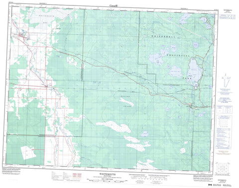
052E13 Whitemouth Canada topo map, 1:50,000 scale
052E13 Whitemouth NRCAN topographic map.
Includes UTM and GPS geographic coordinates (latitude and longitude). This 50k scale map is suitable for hiking, camping, and exploring, or you could frame it as a wall map.
Printed on-demand using high resolution, on heavy weight and acid free paper, or as an upgrade on a variety of synthetic materials.
Topos available on paper, Waterproof, Poly, or Tyvek. Usually shipping rolled, unless combined with other folded maps in one order.
- Product Number: NRCAN-052E13
- Parent Topo: TOPO-052E
- Map ID also known as: 052E13, 52E13
- Unfolded Size: Approximately 26" high by 36" wide
- Weight (paper map): ca. 55 grams
- Map Type: POD NRCAN Topographic Map
- Map Scale: 1:50,000
- Geographical region: Manitoba, Canada
Neighboring Maps:
All neighboring Canadian topo maps are available for sale online at 1:50,000 scale.
Purchase the smaller scale map covering this area: Topo-052E
Spatial coverage:
Topo map sheet 052E13 Whitemouth covers the following places:
- Mallard Bay - Apache Point - Cook Falls - Inverness Falls - Leeyus Falls - Nakka Falls - Nevas Falls - Ostlund Falls - Prette Falls - Brereton Lake Dam - Big Island - Ellis Island - Webb Island - Brereton Lake - Cabin Lake - Goose Pond - Jean Lake - Jessica Lake - Last Lake - Little Mud Lake - Marchand Lake - Moss Lake - Mud Turtle Lake - Ottos Lake - Pennycook Lake - Pit Lake - Red Rock Lake - Redrock Lake - Rice Lake - Seifert Lake - Skull Lake - Skull Pond - Vandal Lake - War Eagle Lake - Zimmerman Lake - Reynolds - Whitemouth - Agassiz Provincial Forest - Alfred Hole Goose Sanctuary - Sandilands Provincial Forest - Whiteshell Game Bird Refuge - Whiteshell Provincial Forest - Whiteshell Provincial Park - Elma Rapids - Birch River - Bog River - Brickyard Creek - Forostiak Creek - Kellner Creek - Lenchuk Creek - Monk Creek - Moss Creek - Rennie River - Whitemouth River - La Vérendrye Trail - Brereton Lake - Brereton Lake - Culver - Darwin - Elma - Hoctor - Indigo - Janow - Juno - Red Rock Lake - Rennie - Scotts Hill - South Beach - Stony Hill - Whitemouth - Hoctor Swamp - Whitemouth Bog


