
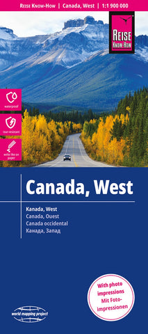
Kanada west = West Canada = Canada, ouest
Western Canada in a series of three indexed, waterproof and tear-resistant road maps of the country with topographic and tourist information. The maps, published by Reise Know-How as part of their highly acclaimed World Mapping Project, are double-sided to provide the best balance between a good scale and a convenient size sheet. The area is divided north/south, with a good overlap between the two sides. Coverage on the north side extends beyond 70º of latitude and 110º west of longitude to include the western end of the Northwest Passage and most of the Northwest Territories. The southern side extends eastwards to cover virtually all of Alberta with Calgary, Edmonton and the Banff and Jasper National Parks.
The map has altitude colouring with spot heights and plenty of names of mountain and hill ranges, plateaux, peaks, passes, rivers and lakes. National and provincial parks and other protected areas are highlighted. Road network indicates unpaved sections of main and secondar
- Product Number: RKH_CAN_W_23
- Reference Product Number: - None -
- ISBN: 9783831773053
- Date of Publication: 5/1/2023
- Folded Size: 10.24 inches high by 4.72 inches wide
- Unfolded (flat) Size: 39.37 inches high by 27.56 inches wide
- Map format: Folded
- Map type: Trade Maps - Road
- Geographical region: Canada
- Geographical subregion: Alberta,British Columbia


