
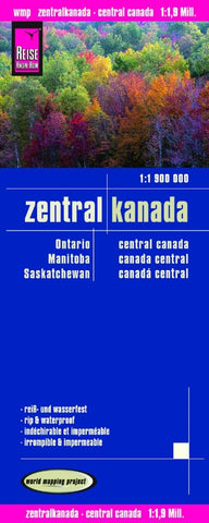
Zentral Kanada Road Map
Central Canada in a series of three indexed, waterproof and tear-resistant road maps of the country with topographic and tourist information. The maps, published by Reise Know-How as part of their highly acclaimed World Mapping Project, are double-sided to provide the best balance between a good scale and a convenient size sheet.
The map has altitude colouring with spot heights, graphics for swap areas, and plenty of names of geographical features, particularly rivers and lakes. National or provincial parks and other protected areas are highlighted. Road network includes selected minor local roads and tracks, and indicates routes suitable only for winter access. Intermediate distances are given on main roads. Railway lines, local airports are also shown. Symbols indicate locations of various places of interest and Indian reservations are marked. The map has a grid with latitude and longitude at intervals of 2º, plus an index of localities. Map legend includes English.
- Product Number: RKH_CAN_C_9a
- Reference Product Number: 2149495M
- ISBN: 9783831772247
- Date of Publication: 6/1/2009
- Folded Size: 10.24 inches high by 4.72 inches wide
- Unfolded (flat) Size: 27.56 inches high by 39.37 inches wide
- Map format: Folded
- Map type: Trade Maps - Road
- Geographical region: Canada
- Geographical subregion: Manitoba,Ontario,Saskatchewan


