
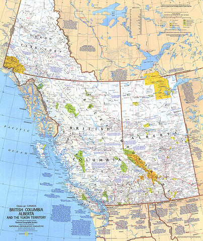
1978 British Columbia, Alberta and the Yukon Territory Map
This travel map of the Canadian provinces of British Columbia, Alberta and the Yukon Territory shows hundreds of national parks, wilderness areas, campgrounds and ski resorts. It also highlights points of interest in cities such as Vancouver, Victoria, Edmonton, and Dawson. Published in April 1978.
- Product Number: PODHNG_CAN_BC_AB_YT_78
- Reference Product Number: 2321558M
- ISBN: - None -
- Date of Publication: 6/1/1978
- Unfolded (flat) Size: 27 inches high by 22.75 inches wide
- Map format: Wall
- Map type: Trade Maps - Political
- Geographical region: Canada


