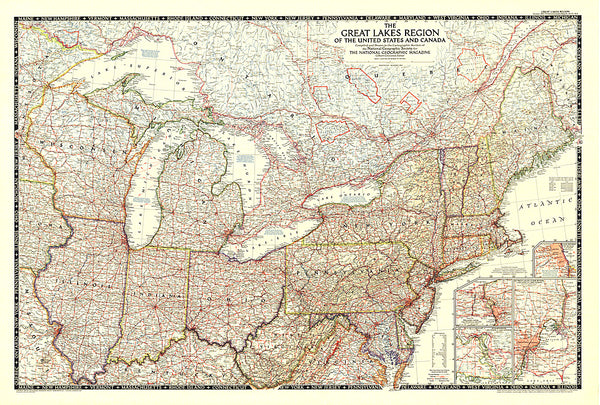
Map of the Expulsion of the French Acadians
English and Colonial troops systematically transported thousands of Acadians of French origin to numerous alternative destinations. This map reconstructs the Acadia of the Expulsion with detail maps depicting the most prominent sights down to the crops and the individual homes. Several sketches recreate the forts and block houses that characterize defenses in these perilous times.
Principal Map Scale : 1=app. 15 miles
- Product Number: MEM_ACADIANS_5
- Reference Product Number: 2030564M
- ISBN: 9781885294302
- Date of Publication: 6/1/2005
- Folded Size: 8.27 inches high by 4.72 inches wide
- Unfolded (flat) Size: 35.83 inches high by 18.9 inches wide
- Map format: Folded
- Map type: Trade Maps - Historical
- Geographical region: Canada,United States
- Geographical subregion: Connecticut,Florida,Georgia,Maine,Massachusetts,New Hampshire,New Jersey,New York,North Carolina,Nova Scotia,Pennsylvania,South Carolina,Virginia

