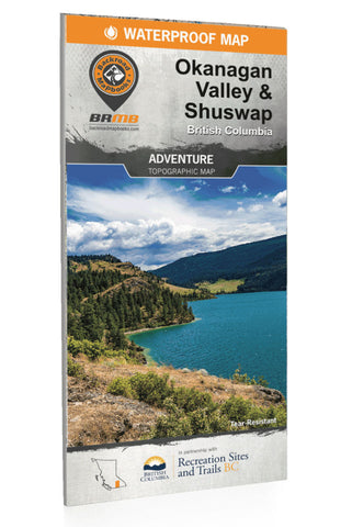
Okanagan Valley Shuswap BC Recreation Map
Located in the heart of BCs southern interior, the Okanagan Valley is a diverse and beautiful area with year-round outdoor adventure opportunities. From arid desert plains to crystal-clear mountain streams and old-growth forests, the Okanagan is famous for both its sunshine and snow. This map charts the entire Okanagan Valley and Shuswap area, from Adams Lake and the upper reaches of the Shuswap Lakes to the north, Revelstoke and Granby Provincial Park to the east, and Grand Forks and the historic Greenwood to the south, along with coverage of outdoor recreation hotspots such as Osoyoos, Kelowna, Vernon, and Salmon Arm. Whether you are looking to hike, bike, camp, fish, paddle, swim, ski, snowshoe, hunt or ATV, this map gives you the most comprehensive coverage available anywhere for one of Canadas most sought-after outdoor destinations.
Print Features
Printed on durable waterproof and tear-resistant material
Easy to read, large-scale 86 x 117 cm (34 x 46.25 inch) map derive
- Product Number: BRM_OKAN_21
- Reference Product Number: - None -
- ISBN: 9781989175040
- Date of Publication: 1/1/2021
- Folded Size: 9 inches high by 4 inches wide
- Unfolded (flat) Size: 46.25 inches high by 34 inches wide
- Map format: Folded
- Map type: Trade Maps - Outdoor Recreation Maps
- Geographical region: Canada
- Geographical subregion: British Columbia

