
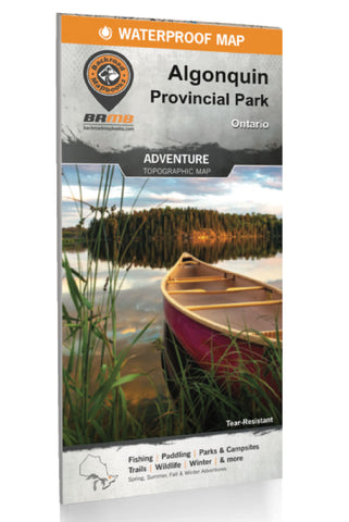
Algonquin Provincial Park Recreation Map
Spanning an area of 7,653 km2 (2,955 mi2), Algonquin Provincial Park is one of Canadas largest and most popular provincial parks. Visitors to this Ontario park will quickly understand the popularity of sprawling forests of red and white pine surrounding an endless patchwork of pristine lakes (around 2,400 in total) that are perfect for paddling. A secluded, water-access campsite is always just around the corner and several fantastic hikes lead deep into the scenic forests. Waterproof and designed to withstand the elements (it even floats) this two-in-one park map includes an unparalleled level of detail and covers the entire park area on one side and the Highway 60 Corridor on the other side.
Providing everything in one place to help you enjoy your Algonquin Provincial Park adventures, the maps chart out all the parks canoe routes, with access points, front and backcountry campsites, unique attractions, portages, trails, and more. Anglers looking for the best locations to fish A
- Product Number: BRM_ALGON_21
- Reference Product Number: - None -
- ISBN: 9781989175071
- Date of Publication: 1/1/2021
- Folded Size: 9 inches high by 4 inches wide
- Unfolded (flat) Size: 46.25 inches high by 34 inches wide
- Map format: Folded
- Map type: Trade Maps - Outdoor Recreation Maps
- Geographical region: Canada
- Geographical subregion: Ontario


